
Related Images


Download:
| Tiny | 63x128 | View | Download |
| Small | 126x256 | View | Download |
| Medium | 253x512 | View | Download |
| Large | 507x1024 | View | Download |
| Original | 614x1238 | View | Download |
This image was acquired from
wikimedia. It was marked as Public Domain or CC0 and is free to use. To verify, go to the source and check the information there.
Looking for more info about this image?
Try a Google Reverse Image Search for it.
Try a Google Reverse Image Search for it.
Keywords from Image Description:
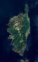
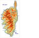
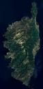
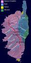
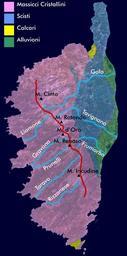
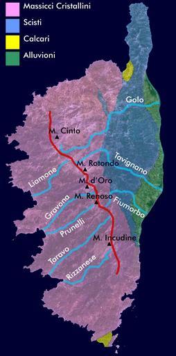
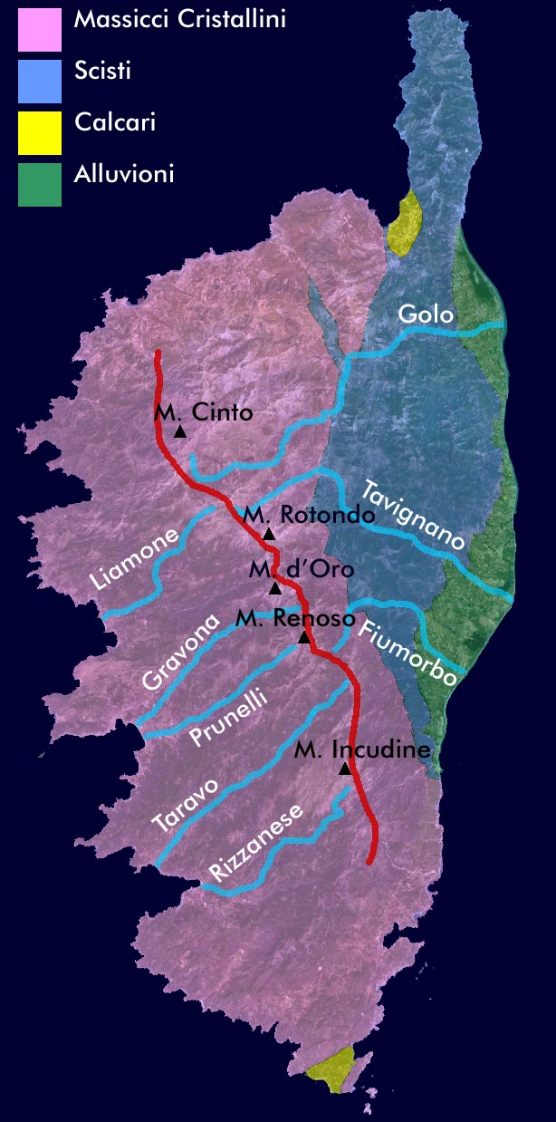
Corsica satellitare geologia. Geological Map of Corsica including the major peaks rivers and marked in red the watershed of the main montain chain Created by myself based on satellite image acquired through NASA World Wind Own date Piero Montesacro Geological maps of France Geology of Corsica NASA World Wind