
Related Images


Download:
| Tiny | 216x128 | View | Download |
| Small | 432x256 | View | Download |
| Medium | 865x512 | View | Download |
| Large | 1731x1024 | View | Download |
| Original png | 2280x1348 | View | Download |
| Original as jpg | 2280x1348 | View | Download |
This image was acquired from
wikimedia. It was marked as Public Domain or CC0 and is free to use. To verify, go to the source and check the information there.
Looking for more info about this image?
Try a Google Reverse Image Search for it.
Try a Google Reverse Image Search for it.
Keywords from Image Description:
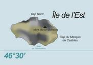
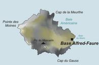
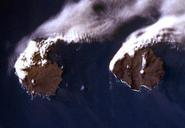
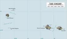
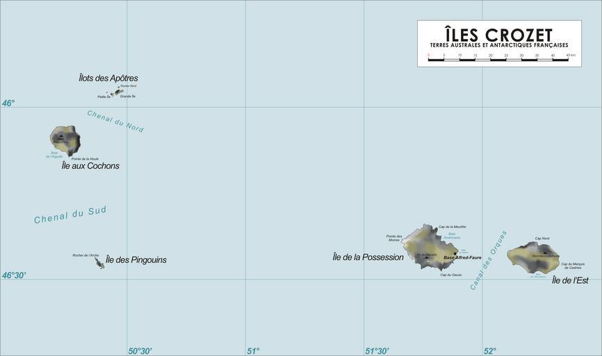
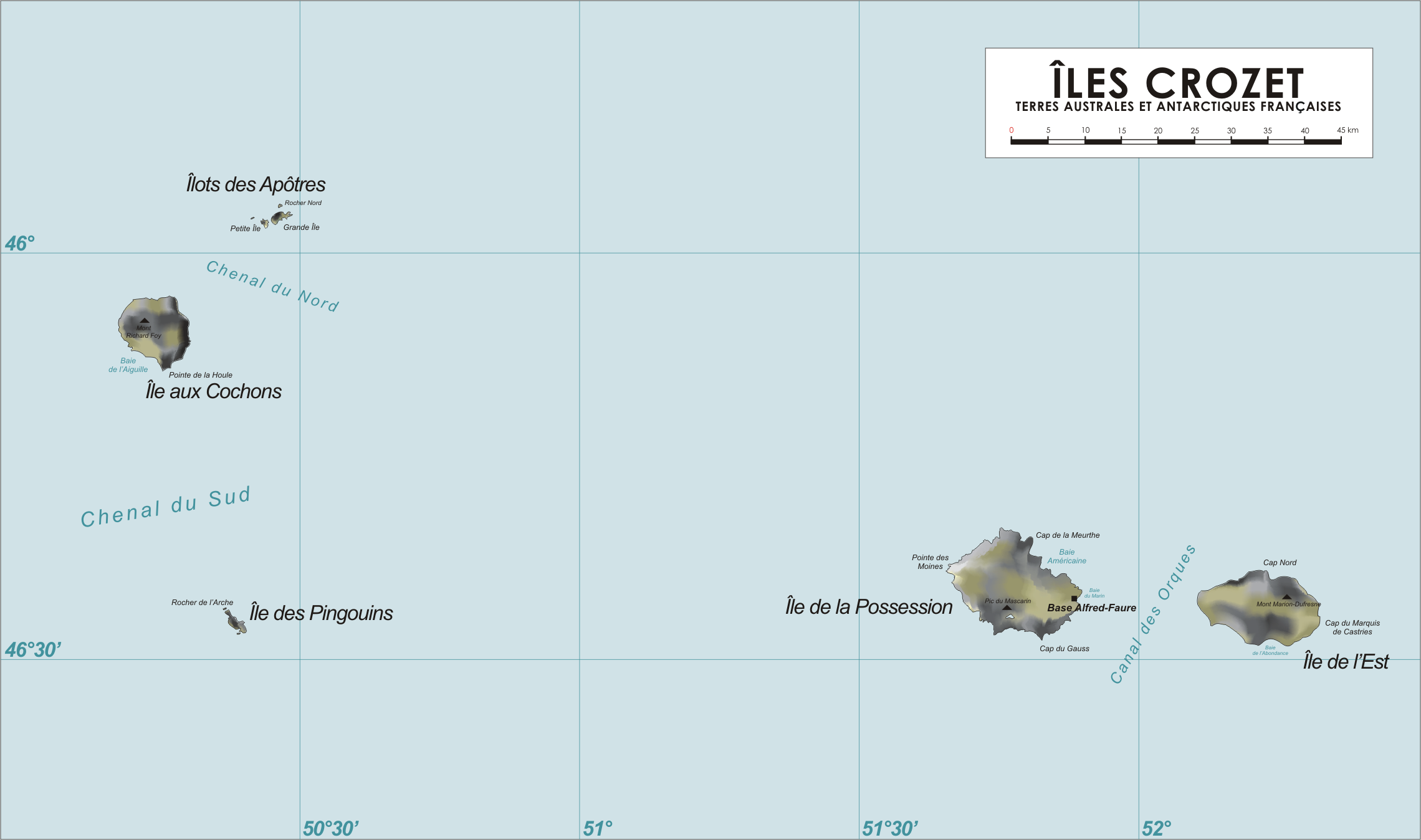
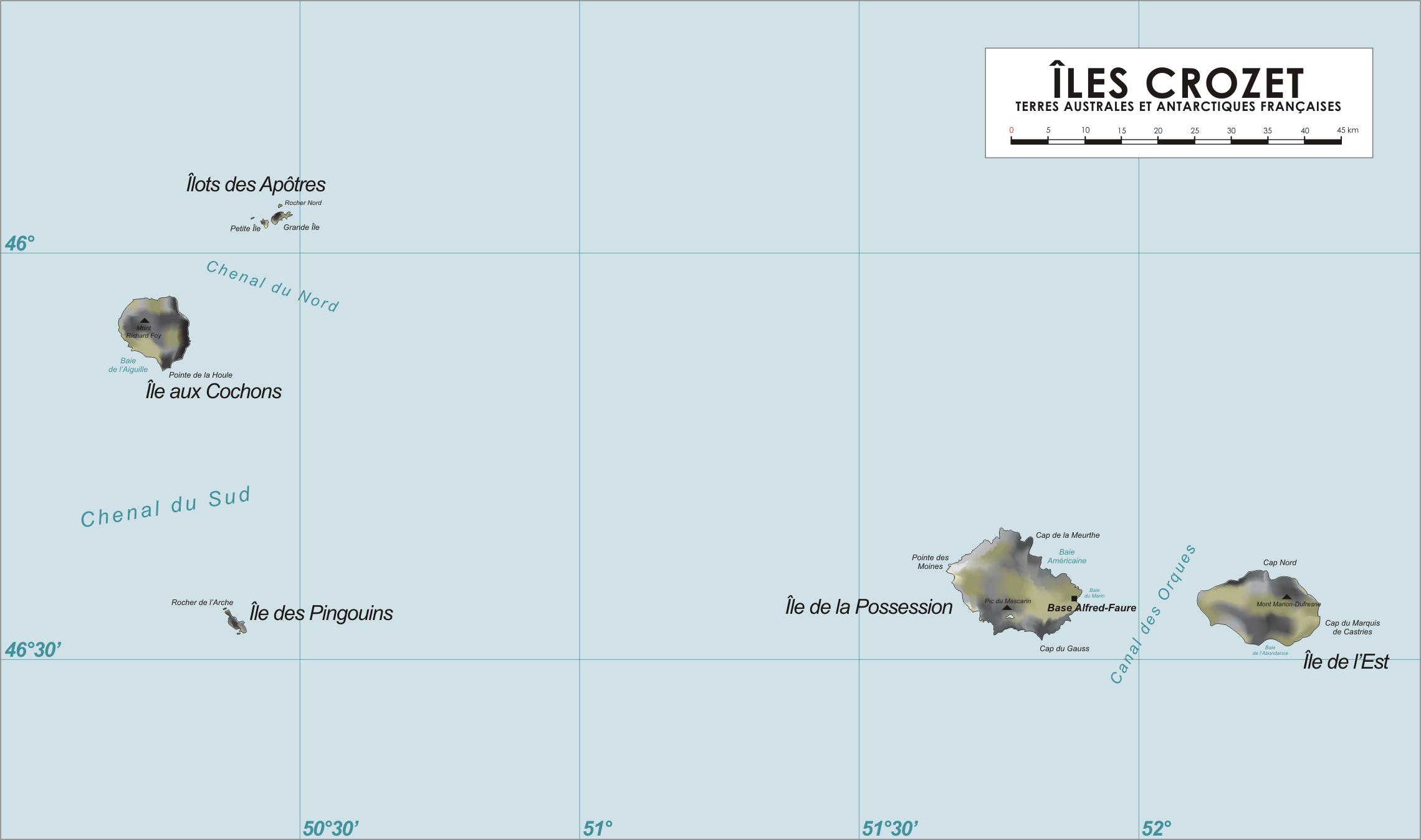
Crozet Map. Map of the Crozet Islands French Southern and Antarctic Territories drawn by varp Maps of the Crozet Islands own assumed Varpcommons