Related Images


Download:
| Tiny | 128x128 | View | Download |
| Small | 256x256 | View | Download |
| Medium | 512x512 | View | Download |
| Original png | 930x930 | View | Download |
| Original as jpg | 930x930 | View | Download |
This image was acquired from
wikimedia. It was marked as Public Domain or CC0 and is free to use. To verify, go to the source and check the information there.
Looking for more info about this image?
Try a Google Reverse Image Search for it.
Try a Google Reverse Image Search for it.
Keywords from Image Description:
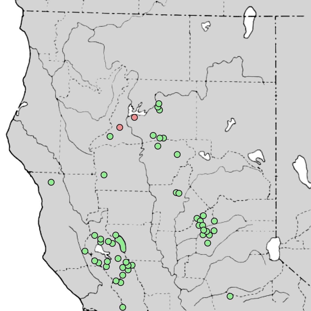
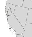
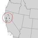
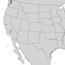
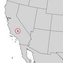
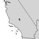
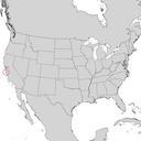
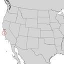
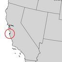
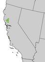
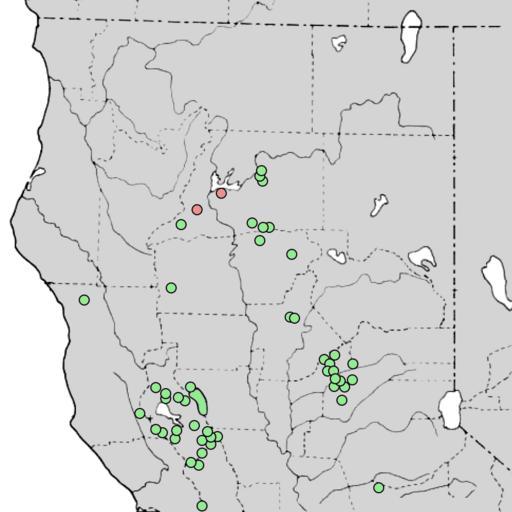
Cupressus macnabiana range map . en Distribution of Cupressus macnabiana MacNab cypress or Shasta cypress in northern California The red circles represent extinct populations fs fed us pdf The distribution of forest trees in California Berkeley Forest Service modified by the uploader for clarity James Griffin William Critchfield