Related Images


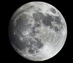
Download:
| Tiny | 76x128 | View | Download |
| Small | 152x256 | View | Download |
| Medium | 304x512 | View | Download |
| Large | 608x1024 | View | Download |
| Original | 17837x30000 | View | Download |
This image was acquired from
wikimedia. It was marked as Public Domain or CC0 and is free to use. To verify, go to the source and check the information there.
Looking for more info about this image?
Try a Google Reverse Image Search for it.
Try a Google Reverse Image Search for it.
Keywords from Image Description:
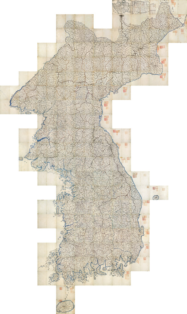
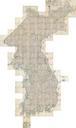
Daedongyeojidofull. LargeImage the East Land is full scale clarify January map of Korea produced in Although no modern survey techniques were used it is remarkably similar to modern maps This marks the zenith of premodern Korean cartography this file is the full mozaic version of it which can be read just as easily as Google interactive