
Related Images


Download:
| Tiny | 90x128 | View | Download |
| Small | 180x256 | View | Download |
| Medium | 361x512 | View | Download |
| Large | 723x1024 | View | Download |
| Original | 1146x1623 | View | Download |
This image was acquired from
wikimedia. It was marked as Public Domain or CC0 and is free to use. To verify, go to the source and check the information there.
Looking for more info about this image?
Try a Google Reverse Image Search for it.
Try a Google Reverse Image Search for it.
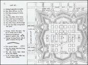
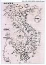
Keywords from Image Description:
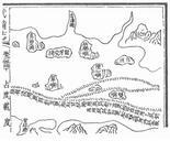
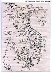
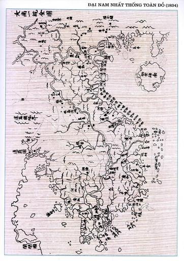
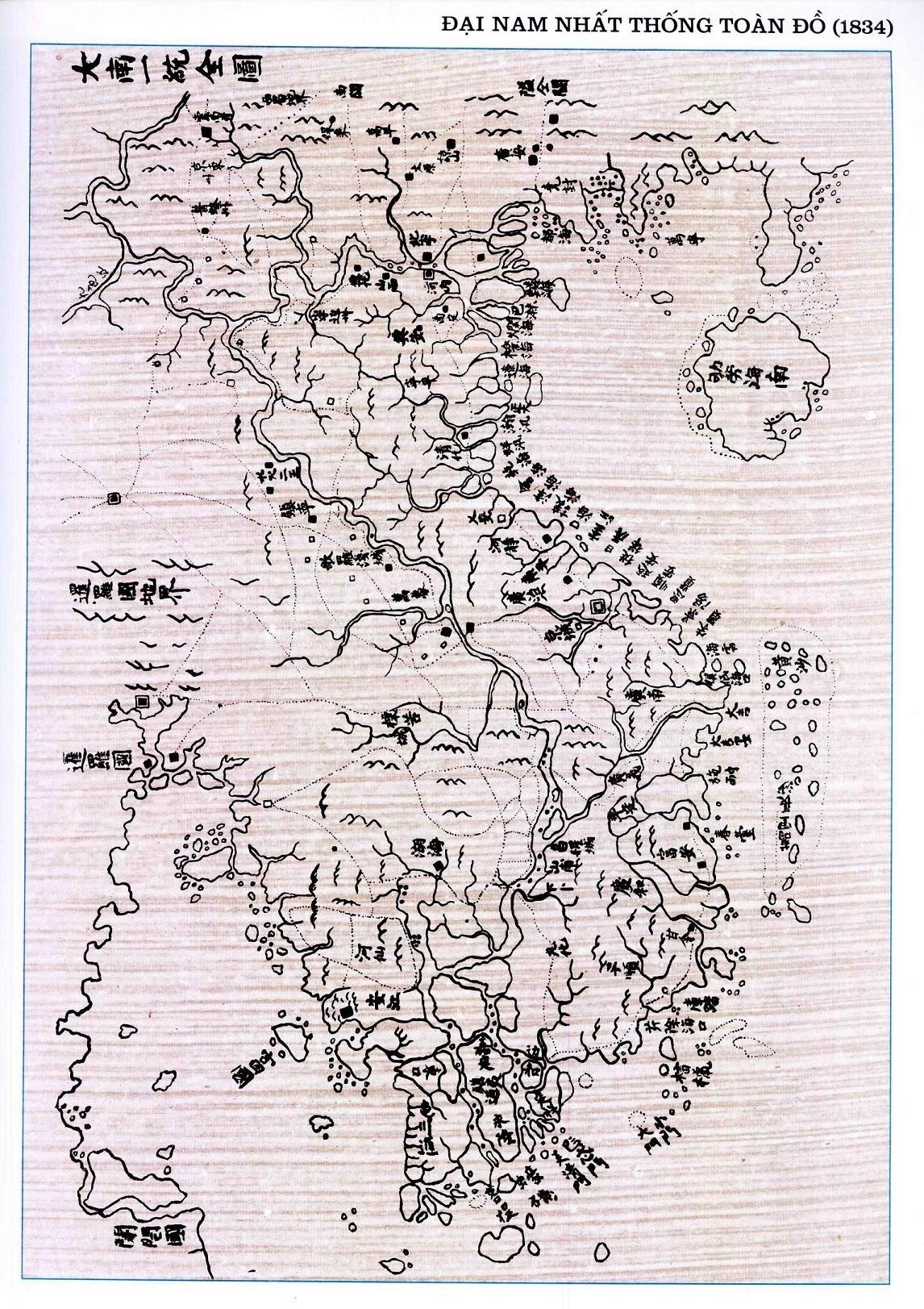
DaiNamNhatThongToanDo . Vietnamese map showing the Spratly and Paracel Islands in the th century Background between and at the time of Emperor Minh Mang Phan Huy Ch published the Nam Thng Nht Ton the Unified Nam Complete Map that distinctly delineated Vn Tr ng Sa the presentday Spratly Islands from Hong Sa the presentday Paracel