Related Images


Download:
| Tiny | 145x128 | View | Download |
| Small | 291x256 | View | Download |
| Medium | 582x512 | View | Download |
| Large | 1165x1024 | View | Download |
| Original tiff | 1243x1092 | View | Download |
| Original as jpg | 1243x1092 | View | Download |
This image was acquired from
wikimedia. It was marked as Public Domain or CC0 and is free to use. To verify, go to the source and check the information there.
Looking for more info about this image?
Try a Google Reverse Image Search for it.
Try a Google Reverse Image Search for it.
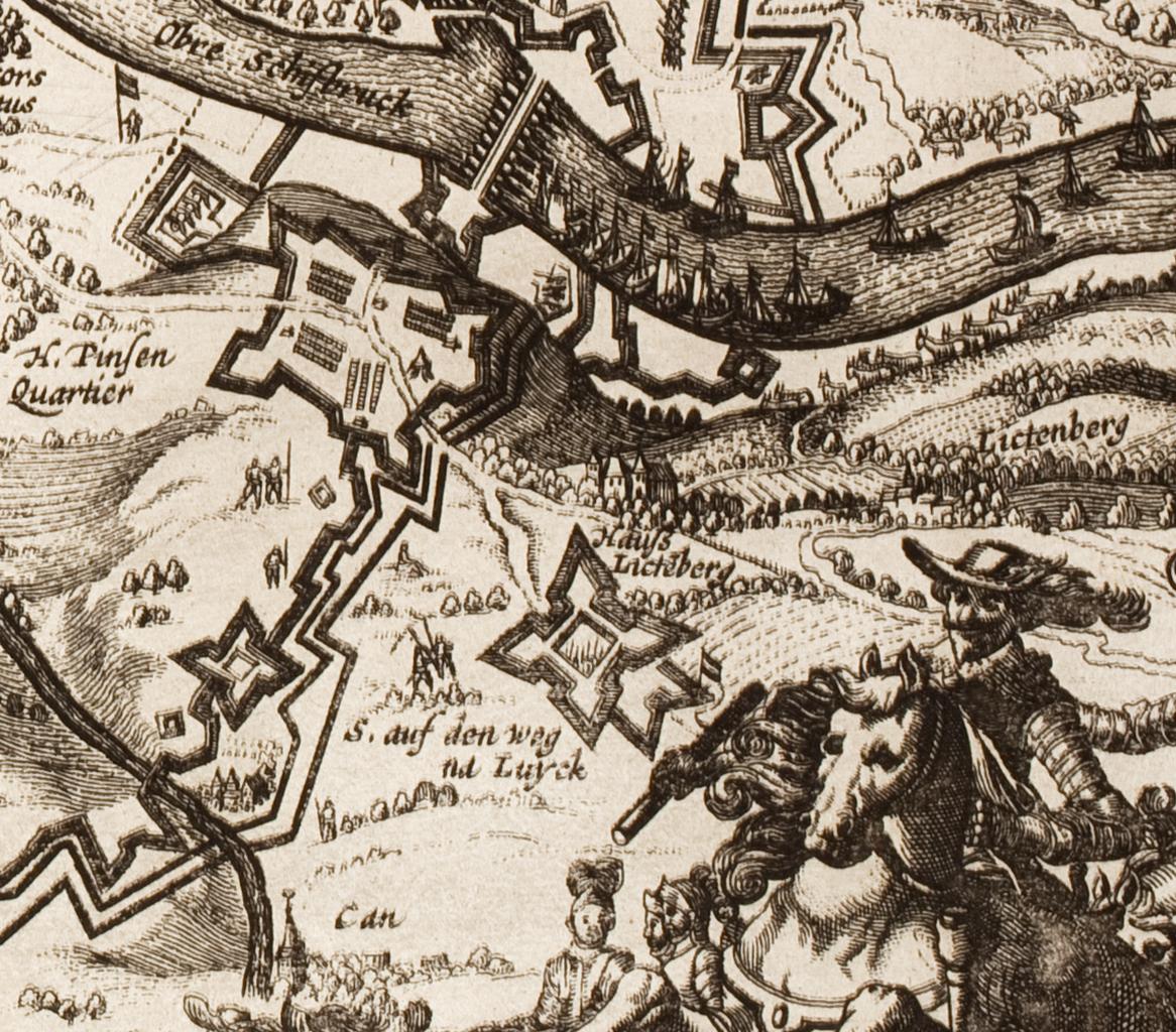
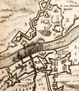
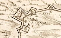
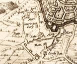
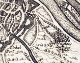
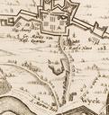
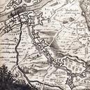
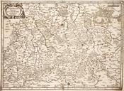
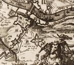
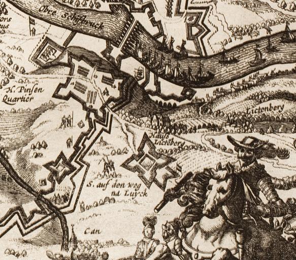
Keywords from Image Description:
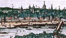
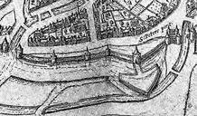
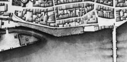
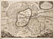
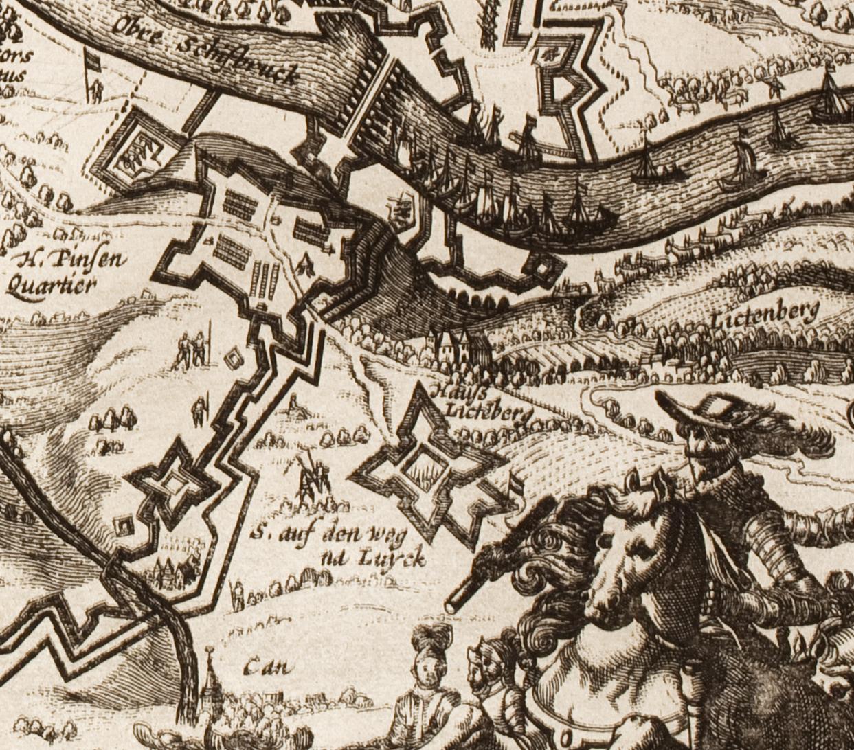
DankaertsHistoris Maastricht map detail De Tombe southern pontoon bridge . en Detail of map of Maastricht during the siege of published in by Cornelis Danckaert in his Historis etc Here the southern pontoon bridge over the river Meuse and De Tombe and other southern encampments on Mount Saint Peter org MaastrichtmapfromDankaertsHistoris