Related Images


Download:
| Tiny | 106x128 | View | Download |
| Small | 213x256 | View | Download |
| Original png | 400x479 | View | Download |
| Original as jpg | 400x479 | View | Download |
This image was acquired from
wikimedia. It was marked as Public Domain or CC0 and is free to use. To verify, go to the source and check the information there.
Looking for more info about this image?
Try a Google Reverse Image Search for it.
Try a Google Reverse Image Search for it.
Keywords from Image Description:
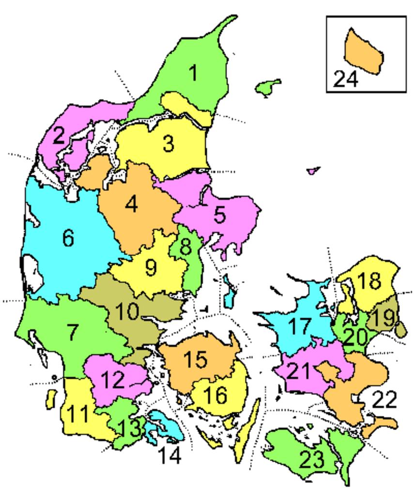
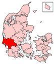
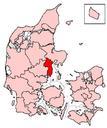
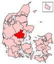
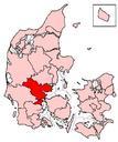
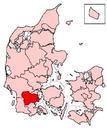
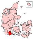
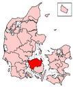
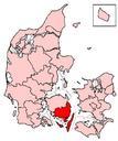
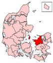
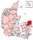
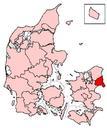
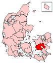
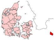
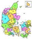
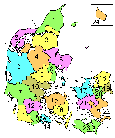
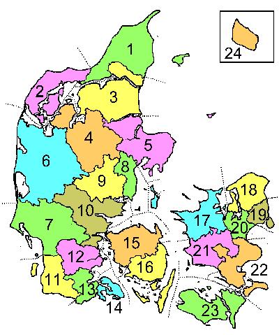
Danskeamter. Description This is map showing Danish counties as they were during the period Caption The names of the counties are listed at da Danmarks amter Author The map was drawn by Lars Helbo Maps of Denmark