Related Images


Download:
| Tiny | 185x128 | View | Download |
| Small | 370x256 | View | Download |
| Medium | 741x512 | View | Download |
| Large | 1482x1024 | View | Download |
| Original | 2700x1865 | View | Download |
This image was acquired from
wikimedia. It was marked as Public Domain or CC0 and is free to use. To verify, go to the source and check the information there.
Looking for more info about this image?
Try a Google Reverse Image Search for it.
Try a Google Reverse Image Search for it.
Keywords from Image Description:
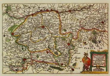
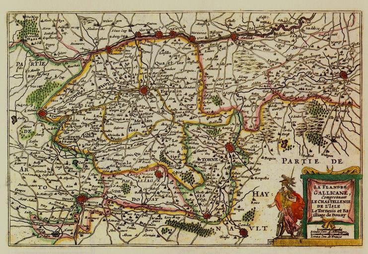
De Vyerighe Colom La Flandre Gallicane. The Map of the Gallicante Flanders in the De Vyerighe Colom Atlas the De Vyerighe Colom Atlas Creator Jacob Aertsz Colom PDold French Flanders Old maps of Belgium Old maps of regions of France Maps made in the th century Old maps of Nord Jacob Aertsz Colom