
Related Images


Download:
| Tiny | 203x128 | View | Download |
| Small | 407x256 | View | Download |
| Medium | 815x512 | View | Download |
| Large | 1631x1024 | View | Download |
| Original png | 2876x1805 | View | Download |
| Original as jpg | 2876x1805 | View | Download |
This image was acquired from
wikimedia. It was marked as Public Domain or CC0 and is free to use. To verify, go to the source and check the information there.
Looking for more info about this image?
Try a Google Reverse Image Search for it.
Try a Google Reverse Image Search for it.
Keywords from Image Description:
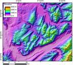
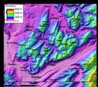
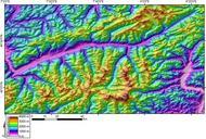
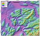
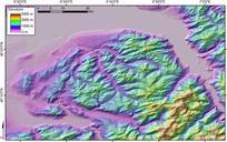
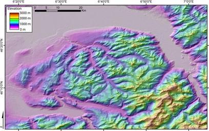
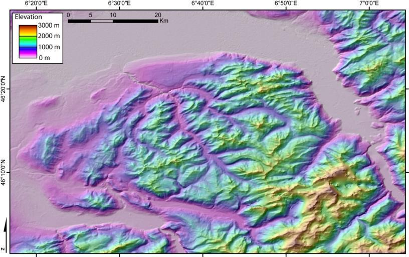
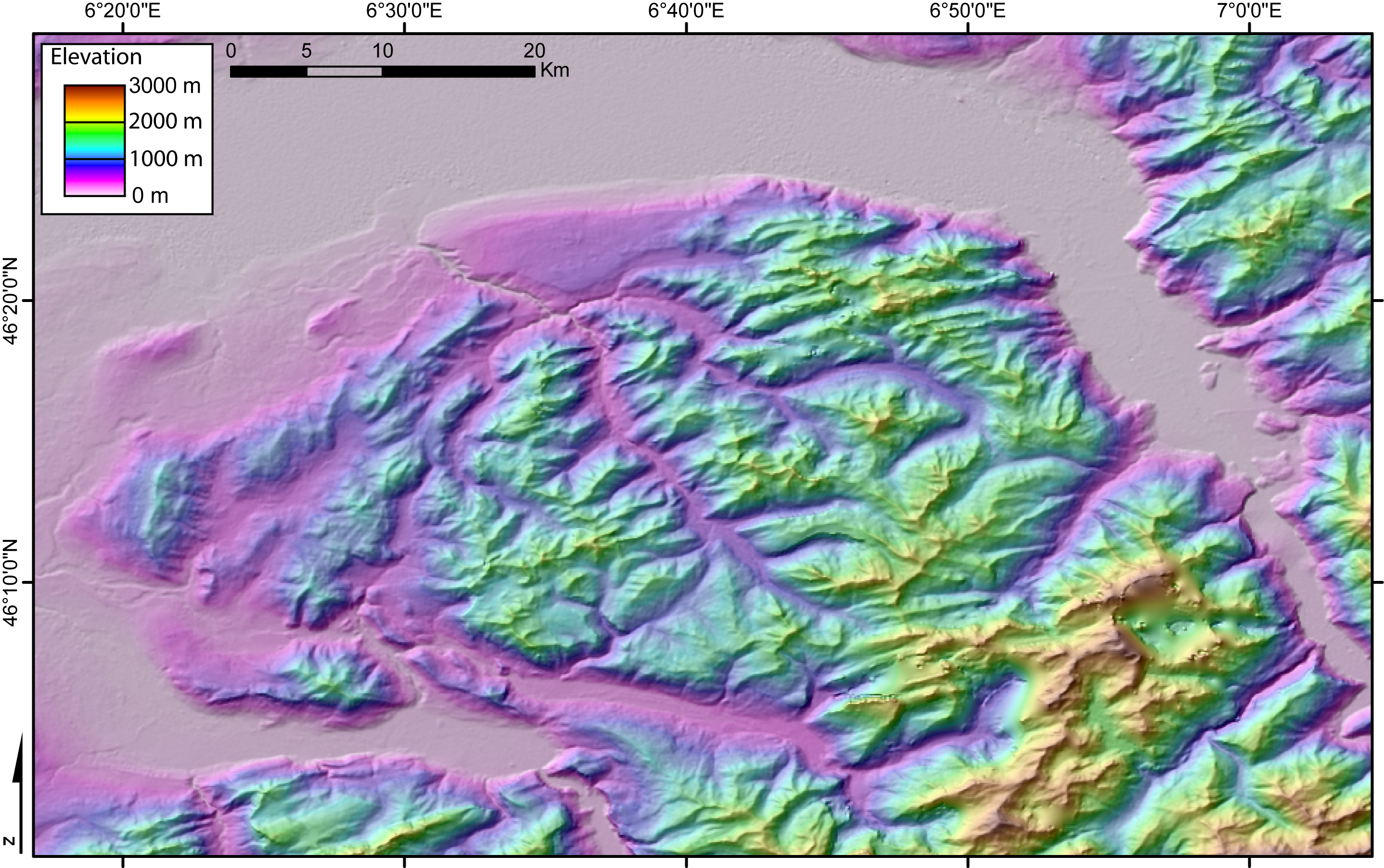
DEMChablais. DEM of the Chablais massif French and Swiss Alps created by Jide from the pixel size SRTM dataset The flat area to the North is Lake Geneva The Rhone valley is located to the East and the wide valley to the South and SW is the Arve valley own assumed Jidecommons DEM maps of France Maps of the Alps Topographic maps of