Related Images


Download:
| Tiny | 179x128 | View | Download |
| Small | 359x256 | View | Download |
| Medium | 719x512 | View | Download |
| Large | 1439x1024 | View | Download |
| Original | 5136x3654 | View | Download |
This image was acquired from
wikimedia. It was marked as Public Domain or CC0 and is free to use. To verify, go to the source and check the information there.
Looking for more info about this image?
Try a Google Reverse Image Search for it.
Try a Google Reverse Image Search for it.
Keywords from Image Description:
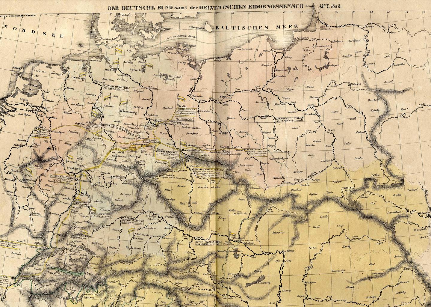
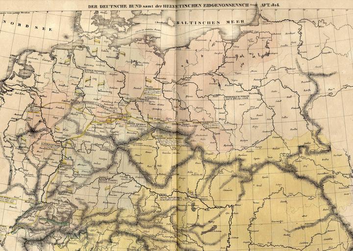
Der Deutsche Bund . scanned the map Origin of the map HISTORISCHGENEALOGISCHGEOGRAPHISCHER ATLAS von Le Sage Graf Las Cases Karlsruhe Bei Creuzbauer und Nldeke PDold Old maps of German Confederation