
Related Images


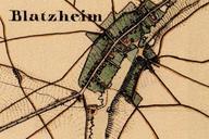
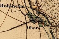
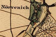
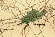
This image was acquired from
wikimedia. It was marked as Public Domain or CC0 and is free to use. To verify, go to the source and check the information there.
Looking for more info about this image?
Try a Google Reverse Image Search for it.
Try a Google Reverse Image Search for it.
Keywords from Image Description:
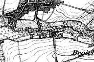
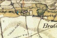
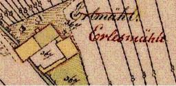
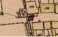
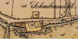
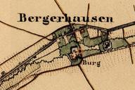
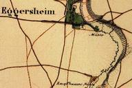
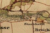
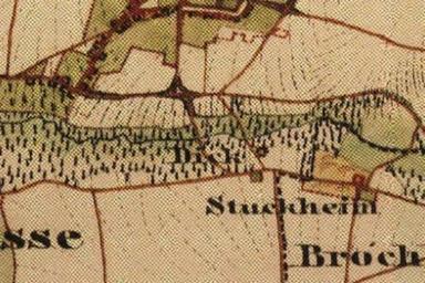
Dieck Urkataster. Preuische Kartenaufnahme Uraufnahme TIMOnline Topographisches Informationsmanagement NRW Stoltz und Leese PDold Dieck Maps of Selfkant Maps by Royal Prussian Land Survey