Related Images


Download:
| Tiny | 120x128 | View | Download |
| Small | 241x256 | View | Download |
| Medium | 482x512 | View | Download |
| Original | 692x734 | View | Download |
This image was acquired from
wikimedia. It was marked as Public Domain or CC0 and is free to use. To verify, go to the source and check the information there.
Looking for more info about this image?
Try a Google Reverse Image Search for it.
Try a Google Reverse Image Search for it.
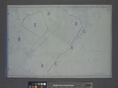
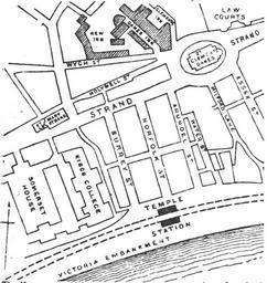
Keywords from Image Description:
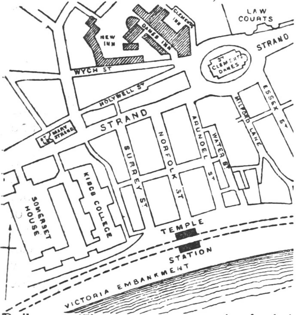
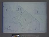
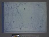
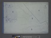
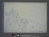
DISTRICT Temple map. plan of the area around Temple tube station Temple underground station and the eastern part of the Strand London Strand including St Mary le Strand and St Clement Danes churches The area around Wych Street north of the Strand was demolished and redeveloped in the early to create the Aldwych it later became