
Related Images


Download:
| Tiny | 85x128 | View | Download |
| Small | 171x256 | View | Download |
| Medium | 342x512 | View | Download |
| Large | 685x1024 | View | Download |
| Original | 1338x2000 | View | Download |
This image was acquired from
wikimedia. It was marked as Public Domain or CC0 and is free to use. To verify, go to the source and check the information there.
Looking for more info about this image?
Try a Google Reverse Image Search for it.
Try a Google Reverse Image Search for it.
Keywords from Image Description:
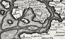
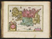
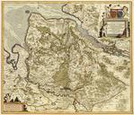
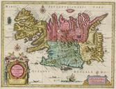
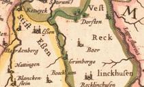
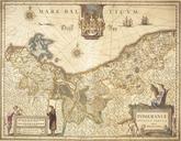
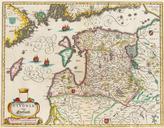
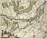
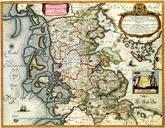
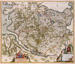
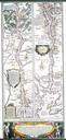
Ducatus Sleswicum sive Iutia Australis map of Johannes Blaeu. Map of Nordfriesland map from Johannes Blaeu showing the flooded isle of Nortstrandt Map was published in but was remake of map published by Johannes Meyer and Caspar Danckwerth in PDArt Maps of Kreis Nordfriesland Old maps of SchleswigHolstein Maps by Willem and Johannes