Related Images


Download:
| Tiny | 207x128 | View | Download |
| Small | 415x256 | View | Download |
| Original svg | 622x383 | View | Download |
| Original as jpg | 622x383 | View | Download |
This image was acquired from
wikimedia. It was marked as Public Domain or CC0 and is free to use. To verify, go to the source and check the information there.
Looking for more info about this image?
Try a Google Reverse Image Search for it.
Try a Google Reverse Image Search for it.
Keywords from Image Description:
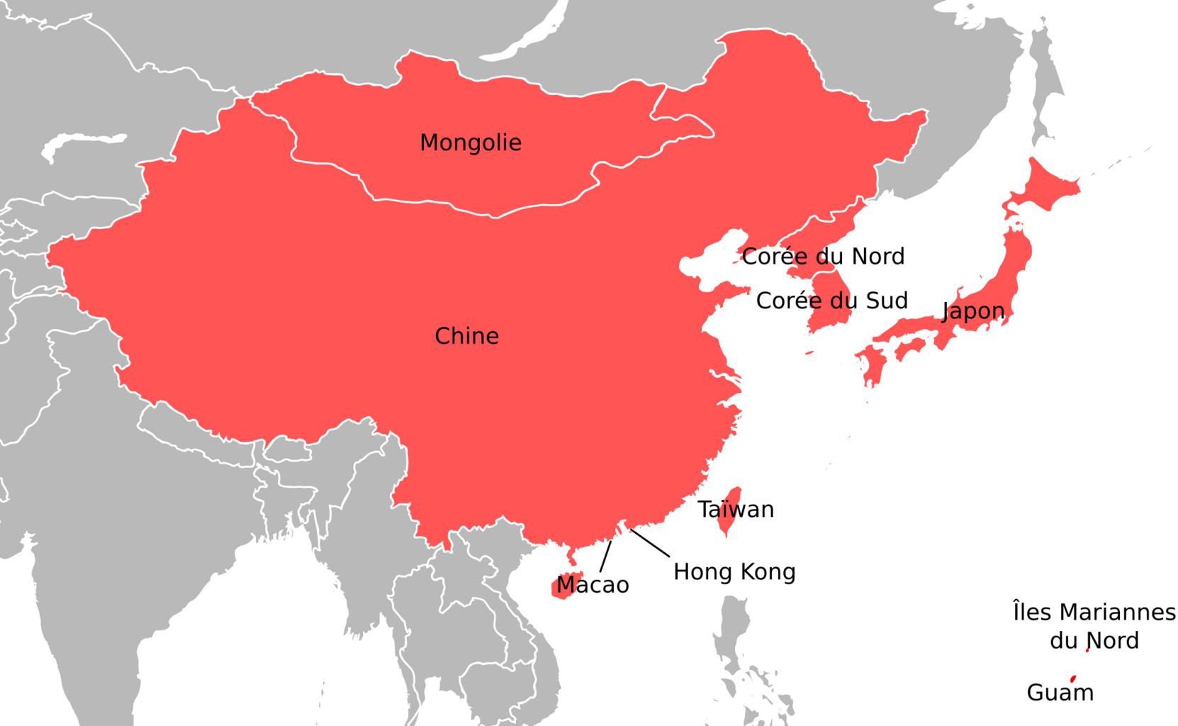
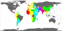
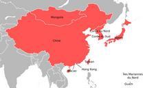
EAFF membres.svg Sample output of nugslworldmap script This image is sample of output from net nugslworldmap Python script for the manipulation of this map The flattened projection shown here is convenient for identifying specific locations on the map because all lines of latitude and longitude are all evenly spaced and parallel