
Related Images


Download:
| Tiny | 183x128 | View | Download |
| Small | 367x256 | View | Download |
| Medium | 734x512 | View | Download |
| Original png | 800x558 | View | Download |
| Original as jpg | 800x558 | View | Download |
This image was acquired from
wikimedia. It was marked as Public Domain or CC0 and is free to use. To verify, go to the source and check the information there.
Looking for more info about this image?
Try a Google Reverse Image Search for it.
Try a Google Reverse Image Search for it.
Keywords from Image Description:
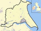
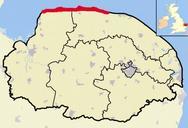
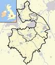
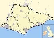
East Sussex outline map with UK. Map of the county of East Sussex England United Kingdom In the bottomleft hand corner of the image is minimap of the British Isles showing the location and relative size of East Sussex in red On the main map urban areas are in grey while rural areas are in yellow the blue lines are rivers Completely