Related Images


Download:
| Tiny | 165x128 | View | Download |
| Small | 331x256 | View | Download |
| Medium | 662x512 | View | Download |
| Original png | 1056x816 | View | Download |
| Original as jpg | 1056x816 | View | Download |
This image was acquired from
wikimedia. It was marked as Public Domain or CC0 and is free to use. To verify, go to the source and check the information there.
Looking for more info about this image?
Try a Google Reverse Image Search for it.
Try a Google Reverse Image Search for it.
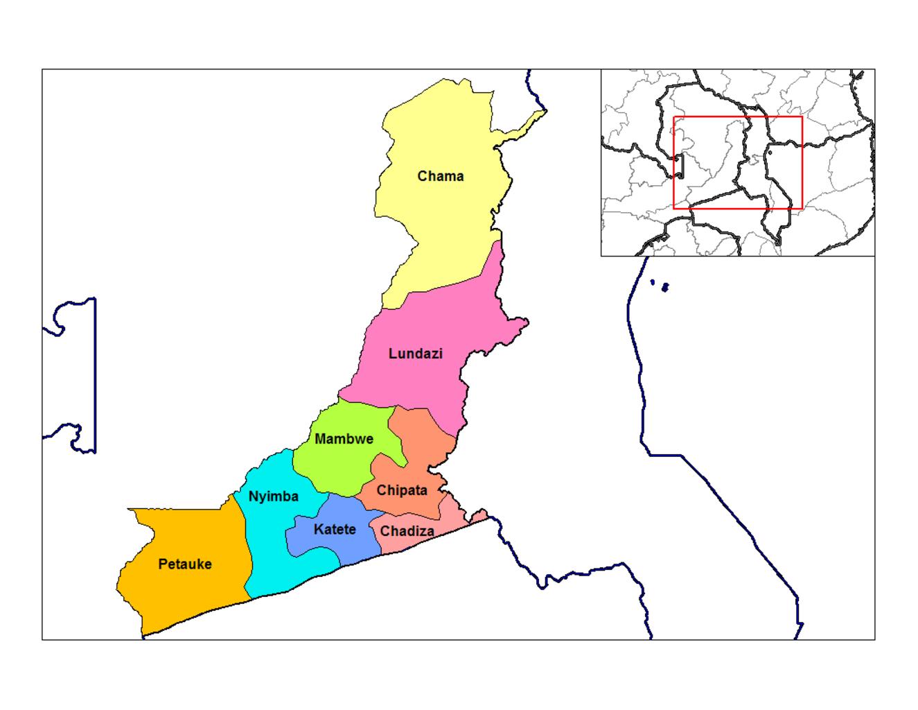
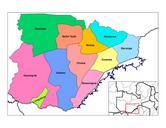
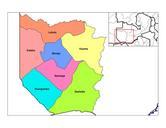
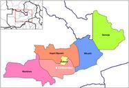
Keywords from Image Description:
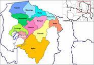
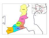
Eastern Zambia districts. Map of the districts of Eastern province in Zambia Created by Rarelibra December UTC for public domain use using MapInfo Professional and various mapping resources own assumed Rarelibra Important Error This map has mistake Petauke district is actually east of Nyimba district they are misplaced and the