
Related Images


Download:
| Tiny | 141x128 | View | Download |
| Small | 282x256 | View | Download |
| Original png | 320x290 | View | Download |
| Original as jpg | 320x290 | View | Download |
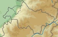
This image was acquired from
wikimedia. It was marked as Public Domain or CC0 and is free to use. To verify, go to the source and check the information there.
Looking for more info about this image?
Try a Google Reverse Image Search for it.
Try a Google Reverse Image Search for it.
Keywords from Image Description:
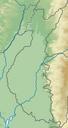
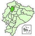
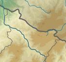
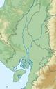
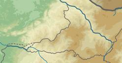
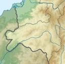
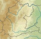
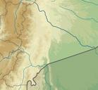
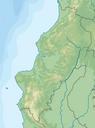
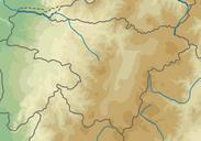
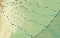
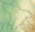
Ecuador relief location map Santo Domingo de los Tschilas. fr Carte topographique de la province de Santo Domingo de los Tschilas quateur Limits File Ecuador relief location map svg Urutseg cczero Location maps of Ecuador Uploaded with