Download:
| Tiny | 92x128 | View | Download |
| Small | 185x256 | View | Download |
| Medium | 370x512 | View | Download |
| Large | 740x1024 | View | Download |
| Original | 2284x3158 | View | Download |
This image was acquired from
wikimedia. It was marked as Public Domain or CC0 and is free to use. To verify, go to the source and check the information there.
Looking for more info about this image?
Try a Google Reverse Image Search for it.
Try a Google Reverse Image Search for it.
Keywords from Image Description:
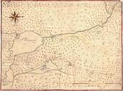
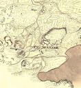
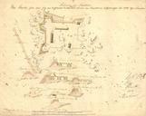
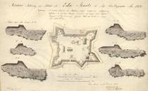
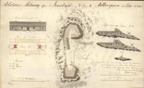
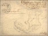
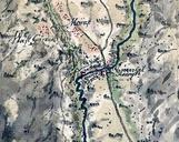
EdaMap. en Map showing the surroundings of Eda sconce Vrmland Sweden and the lakes Bysjn and Hugn sv Karta kring trakten av Eda skans vstra Vrmland runt sjarna Bysjn och Hugn Krigsarkivet Sverige Topografiska kartor Vrmland detaljkartor author Mitten av talet Eda skans PDold

