Related Images

Download:
| Tiny | 110x128 | View | Download |
| Small | 220x256 | View | Download |
| Medium | 440x512 | View | Download |
| Original svg | 651x756 | View | Download |
| Original as jpg | 651x756 | View | Download |
This image was acquired from
wikimedia. It was marked as Public Domain or CC0 and is free to use. To verify, go to the source and check the information there.
Looking for more info about this image?
Try a Google Reverse Image Search for it.
Try a Google Reverse Image Search for it.
Keywords from Image Description:
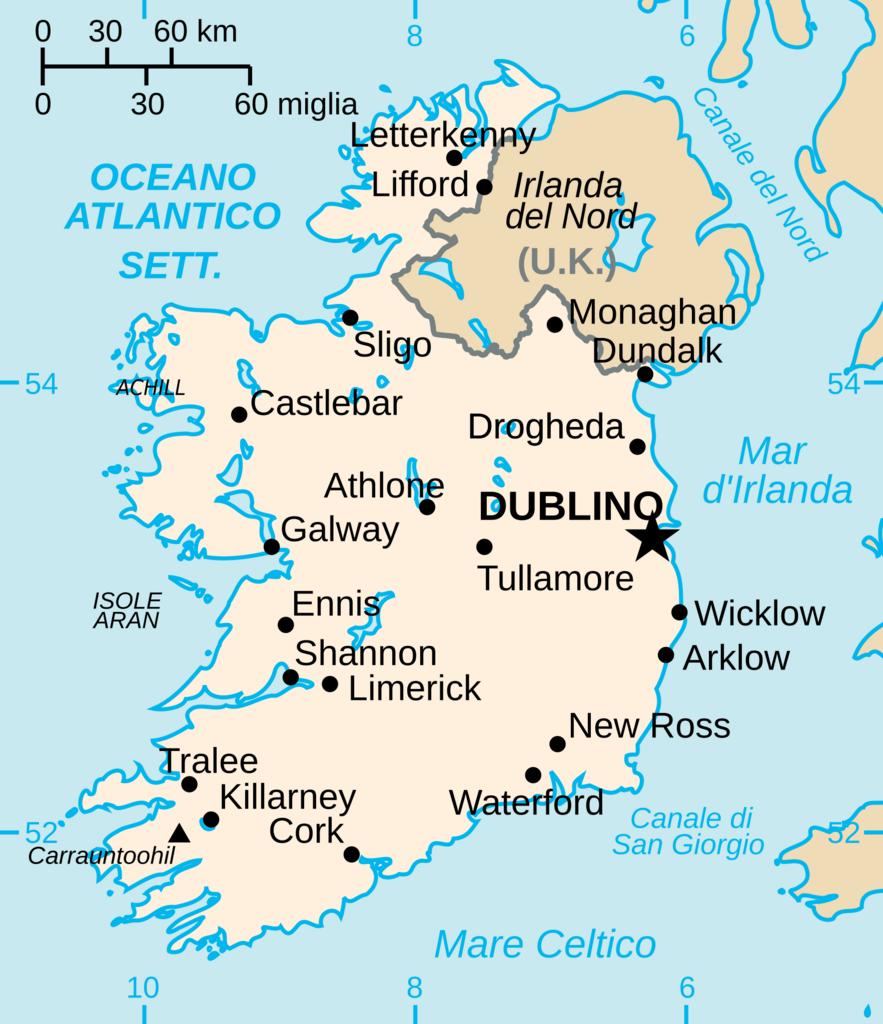
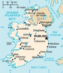
Eimapit.svg Translated version of image Eimap svg in italian with some cities added Original is Vector version of CIA WorldBook map of the Republic of Ireland Mercator projection Vector information is from the CIA World DataBank II and hence in the public domain Eimap svg CIA World Factbook Other versions SVG maps of Ireland SVG