
Related Images


Download:
| Tiny | 171x128 | View | Download |
| Small | 342x256 | View | Download |
| Medium | 685x512 | View | Download |
| Large | 1370x1024 | View | Download |
| Original | 2592x1936 | View | Download |
This image was acquired from
wikimedia. It was marked as Public Domain or CC0 and is free to use. To verify, go to the source and check the information there.
Looking for more info about this image?
Try a Google Reverse Image Search for it.
Try a Google Reverse Image Search for it.
Keywords from Image Description:
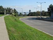
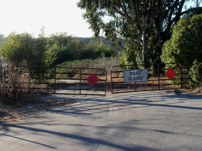
End of Lee Road access. Nearby is burial site.. WatsonvilleLee Road Site own Mrwrite us WLM United States ed National Register of Historic Places in Santa Cruz County California Uploaded with Watsonville California Roads in California ImageNote This view is actually west and north of the burial site ImageNoteEnd