Related Images


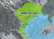


Download:
| Tiny | 164x128 | View | Download |
| Small | 329x256 | View | Download |
| Medium | 659x512 | View | Download |
| Original | 662x514 | View | Download |
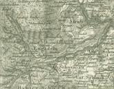
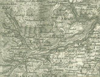
This image was acquired from
wikimedia. It was marked as Public Domain or CC0 and is free to use. To verify, go to the source and check the information there.
Looking for more info about this image?
Try a Google Reverse Image Search for it.
Try a Google Reverse Image Search for it.
Keywords from Image Description:
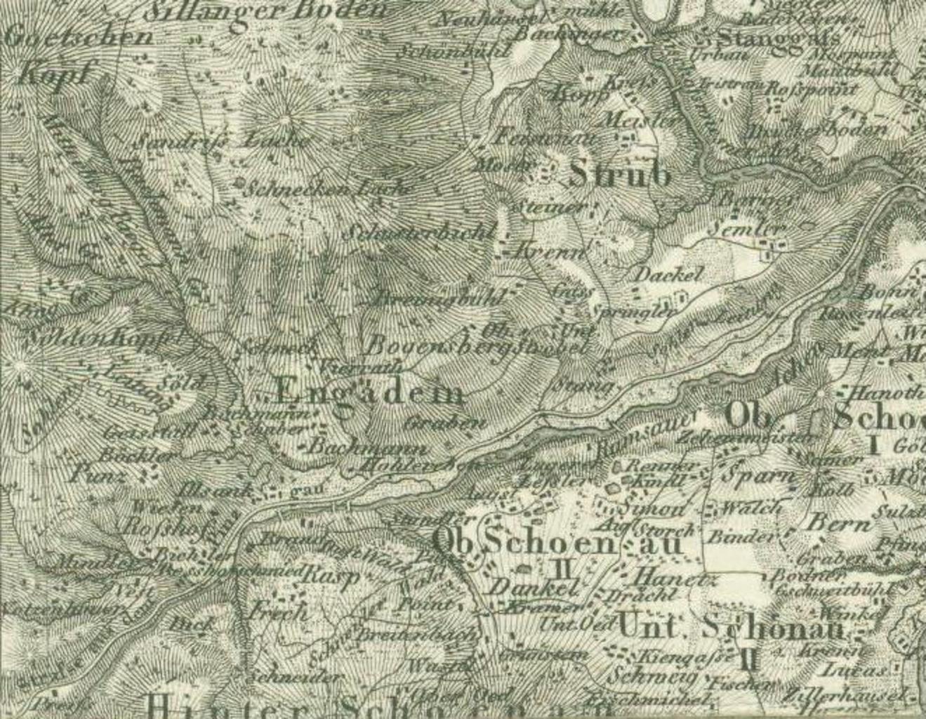
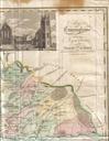
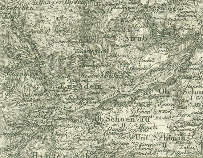
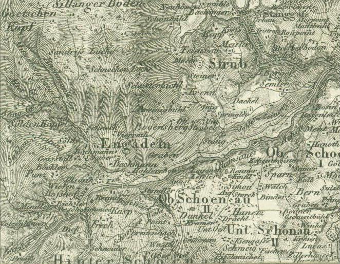
Engadey map early th century. en early th century map of Engadey area Bischofswiesen Berchtesgadener Land Upper Bavaria Germany uniregensburg de php name Engedey erster Kartenlink not specified early th century Bischofswiesen Maps of Upper Bavaria Old maps of Germany PDold