
Related Images


This image was acquired from
wikimedia. It was marked as Public Domain or CC0 and is free to use. To verify, go to the source and check the information there.
Looking for more info about this image?
Try a Google Reverse Image Search for it.
Try a Google Reverse Image Search for it.
Keywords from Image Description:
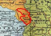
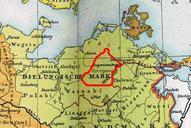
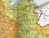
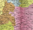
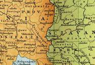
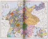
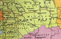
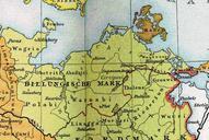
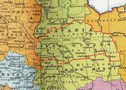
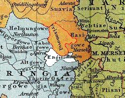
Engilin. Lage des Gaus Engilin um Karte Heiliges Rmisches Reich um Gustav Droysen Allgemeiner historischer Handatlas thumb left Heiliges Rmisches Reich Juli upload Drekamu Siehe unten PDold Original upload log de Engilin bytes Drekamu no Andere Versionen Old maps of the Holy Roman Empire Maps from Allgemeiner Historischer