
Related Images


Download:
| Tiny | 93x128 | View | Download |
| Small | 186x256 | View | Download |
| Medium | 372x512 | View | Download |
| Large | 744x1024 | View | Download |
| Original | 2550x3509 | View | Download |
This image was acquired from
wikimedia. It was marked as Public Domain or CC0 and is free to use. To verify, go to the source and check the information there.
Looking for more info about this image?
Try a Google Reverse Image Search for it.
Try a Google Reverse Image Search for it.
Keywords from Image Description:
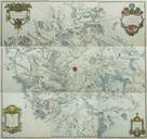
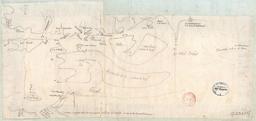
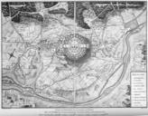
pne Carte Topographique des Environs de Versailles . Carte des chasses du roi Louis XIV extrait feuille centr sur pne Yvelines PDold Old maps of Yvelines Old maps of cities in France pne Island of ledeFrance Rangiport Islands in the Seine River Rangiport pne