
Related Images


Download:
| Tiny | 135x128 | View | Download |
| Small | 271x256 | View | Download |
| Medium | 543x512 | View | Download |
| Large | 1086x1024 | View | Download |
| Original png | 1553x1463 | View | Download |
| Original as jpg | 1553x1463 | View | Download |
This image was acquired from
wikimedia. It was marked as Public Domain or CC0 and is free to use. To verify, go to the source and check the information there.
Looking for more info about this image?
Try a Google Reverse Image Search for it.
Try a Google Reverse Image Search for it.
Keywords from Image Description:
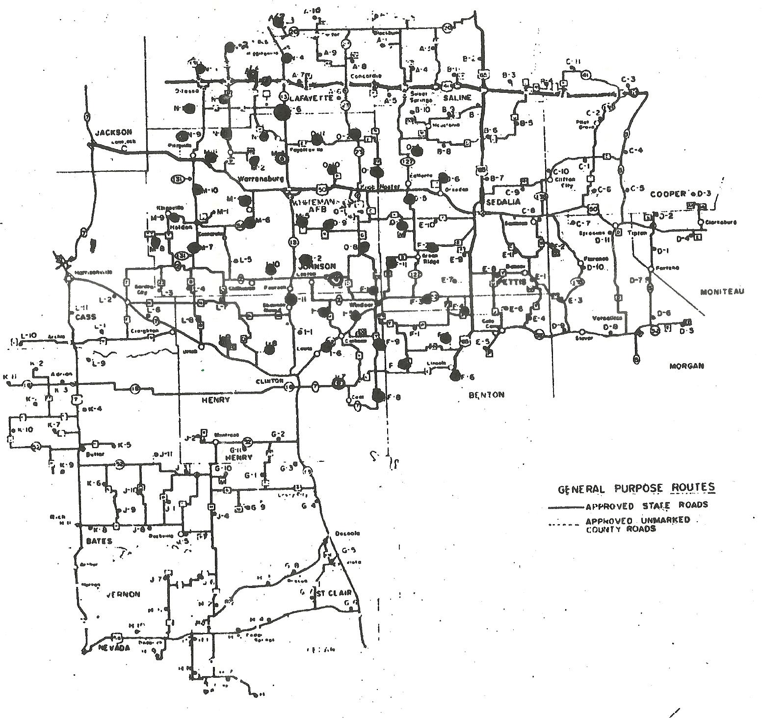
ERCS location map. Location map of Emergency Rocket Communication System sorties at Whiteman AFB Missouri st Strategic Missile Wing history Held at AF Historical Research Center Maxwell AFB Alabama st Operations Group Open Source due to creation by US government agency by US Air Force PDUSGov Emergency Rocket Communications System