Related Images


Download:
| Tiny | 129x128 | View | Download |
| Small | 258x256 | View | Download |
| Medium | 517x512 | View | Download |
| Large | 1034x1024 | View | Download |
| Original | 2487x2462 | View | Download |
This image was acquired from
wikimedia. It was marked as Public Domain or CC0 and is free to use. To verify, go to the source and check the information there.
Looking for more info about this image?
Try a Google Reverse Image Search for it.
Try a Google Reverse Image Search for it.
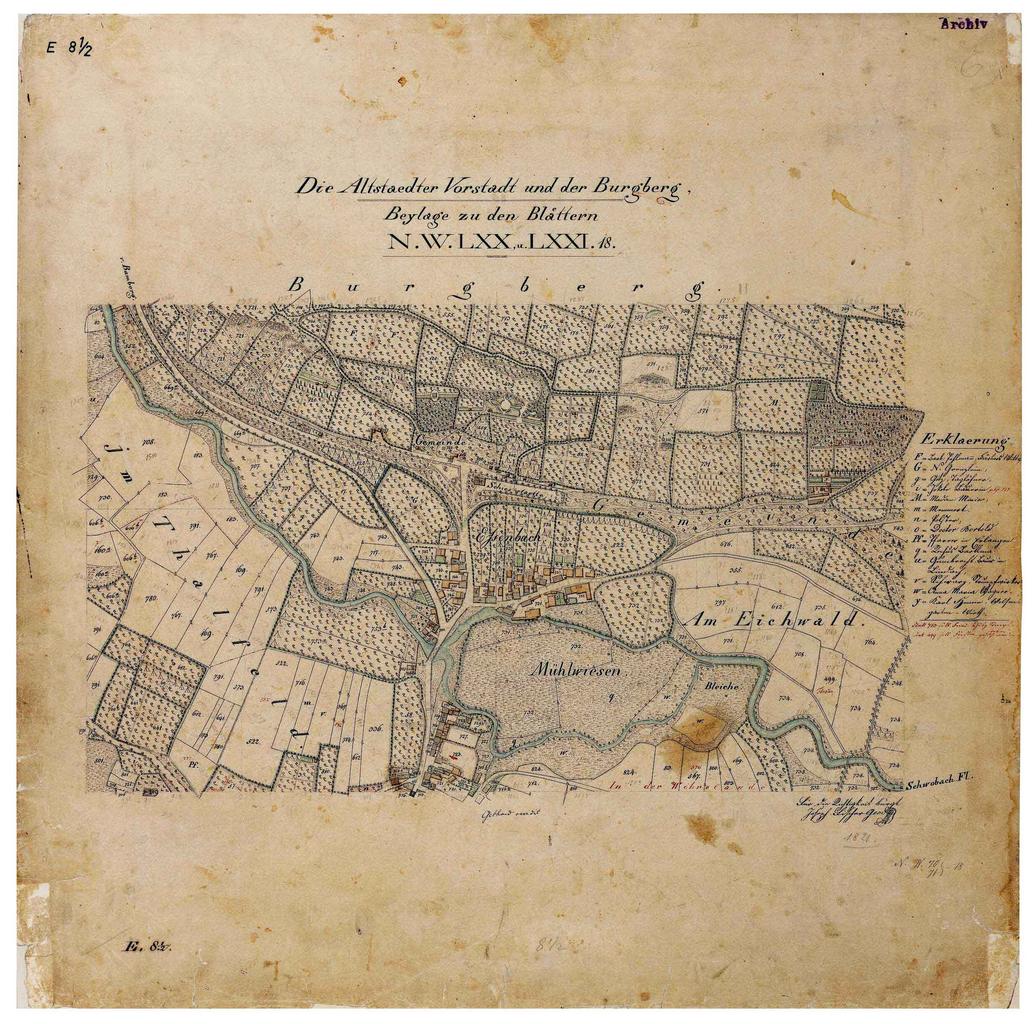
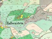
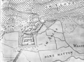
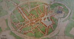
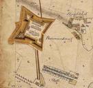
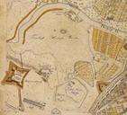
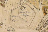
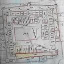
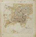
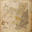
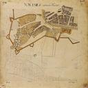
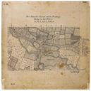
Keywords from Image Description:
Erlangen Katasterplan . Erlangen Die Altstdter Vorstadt und der Burgberg Plan der SteuerKatasterKommission spter Katasterbureau des Knigreichs Bayern bayerischelandesbibliothekonline de SteuerKatasterKommission spter Katasterbureau Old maps of Erlangen Maps by Royal Bavarian Land Tax Commission maps PDold