
Related Images


Download:
| Tiny | 118x128 | View | Download |
| Small | 237x256 | View | Download |
| Medium | 474x512 | View | Download |
| Large | 948x1024 | View | Download |
| Original png | 1897x2048 | View | Download |
| Original as jpg | 1897x2048 | View | Download |
This image was acquired from
wikimedia. It was marked as Public Domain or CC0 and is free to use. To verify, go to the source and check the information there.
Looking for more info about this image?
Try a Google Reverse Image Search for it.
Try a Google Reverse Image Search for it.
Keywords from Image Description:
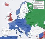
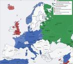
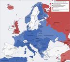
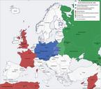
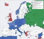
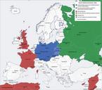
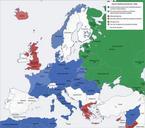
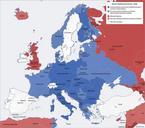
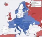
Europelatcolors. locator map en map of Europe using Lambert's Conformal Conical Projection standard parallels deg deg central meridian deg worldborders shp The worldborders zip dataset is Shapefile of the world's international borders derived by Schuyler Erle from public domain sources KoenB public domain Blank maps of Europe