
Related Images


Download:
| Tiny | 207x128 | View | Download |
| Small | 414x256 | View | Download |
| Medium | 828x512 | View | Download |
| Large | 1656x1024 | View | Download |
| Original png | 2700x1669 | View | Download |
| Original as jpg | 2700x1669 | View | Download |
This image was acquired from
wikimedia. It was marked as Public Domain or CC0 and is free to use. To verify, go to the source and check the information there.
Looking for more info about this image?
Try a Google Reverse Image Search for it.
Try a Google Reverse Image Search for it.
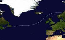
Keywords from Image Description:
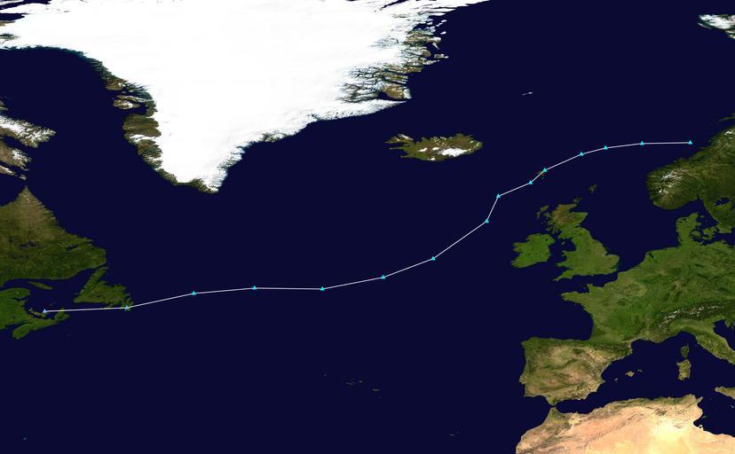
Eva track. Track map of Storm Eva of the European windstorms of The points show the location of the storm at hour intervals The colour represents the storm's maximum sustained wind speeds as classified in the Beaufort wind scale see below WPETC track map Created by Supportstorm using Tropical cyclones The background image is