
Related Images


Download:
| Tiny | 148x128 | View | Download |
| Small | 296x256 | View | Download |
| Medium | 592x512 | View | Download |
| Original png | 1184x1024 | View | Download |
| Original as jpg | 1184x1024 | View | Download |
This image was acquired from
wikimedia. It was marked as Public Domain or CC0 and is free to use. To verify, go to the source and check the information there.
Looking for more info about this image?
Try a Google Reverse Image Search for it.
Try a Google Reverse Image Search for it.
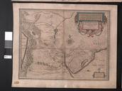
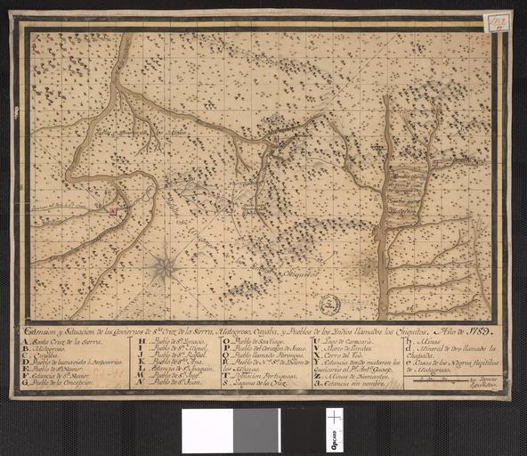
Keywords from Image Description:
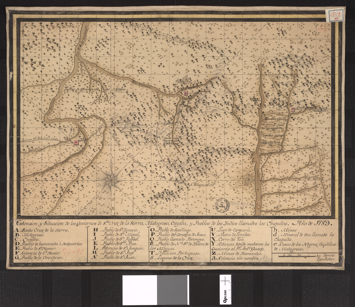
Extent and Location of the Governments of Santa Cruz de la Sierra Matogroso Cuyaba and Towns of Native Americans Called Chiquitos WDL. Artwork ru fr tendue et emplacement des gouvernements de Santa Cruz de la Sierra Matogroso Cuyaba et villes d'amrindiens appels Chiquitos en Extent and Location of the Governments