Related Images


Download:
| Tiny | 204x128 | View | Download |
| Small | 409x256 | View | Download |
| Medium | 818x512 | View | Download |
| Large | 1636x1024 | View | Download |
| Original | 2100x1314 | View | Download |
This image was acquired from
wikimedia. It was marked as Public Domain or CC0 and is free to use. To verify, go to the source and check the information there.
Looking for more info about this image?
Try a Google Reverse Image Search for it.
Try a Google Reverse Image Search for it.
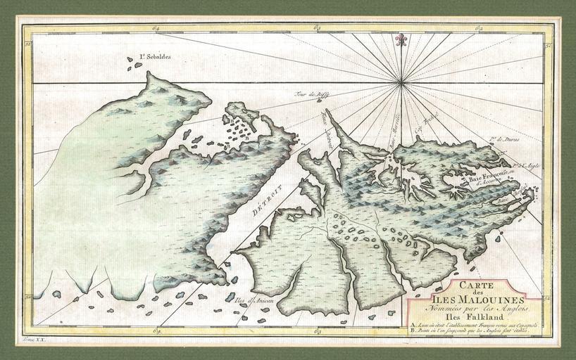
Keywords from Image Description:
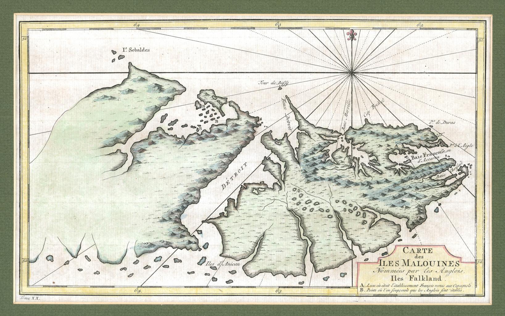
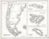
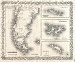
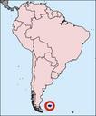
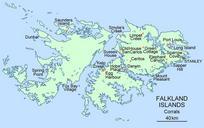
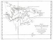
Falklands map mid. en The map was drawn by the French cartographer Etienne Andr Philippe de Pretot in the late and first appeared in the edition of the explorer LouisAntoine de Bougainville book Voyages The heading says in old French Carte des Iles Malouines Nommes par les Anglois Iles Falkland or Map of the Malouines Islands which