
Related Images


Download:
| Tiny | 141x128 | View | Download |
| Small | 282x256 | View | Download |
| Medium | 564x512 | View | Download |
| Large | 1128x1024 | View | Download |
| Original png | 1232x1118 | View | Download |
| Original as jpg | 1232x1118 | View | Download |
This image was acquired from
wikimedia. It was marked as Public Domain or CC0 and is free to use. To verify, go to the source and check the information there.
Looking for more info about this image?
Try a Google Reverse Image Search for it.
Try a Google Reverse Image Search for it.
Keywords from Image Description:
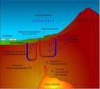
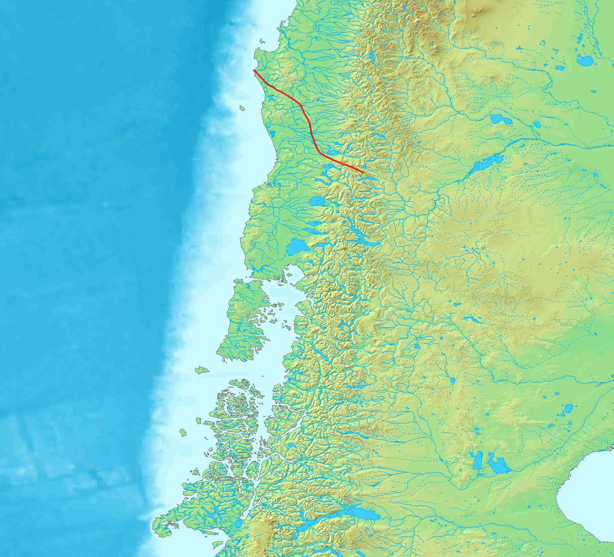
Falla de Lanalhue. es Mapa con la Falla de Lanalhue que se extiende desde Lebu puerto hasta el Volcan Lanin generando la topografia del centro de la Araucana como Nahuelbuta cerros de ielol Conunhuenu volcanes Villarrica Quetrupillan Lanin demis nl htm demis nl uploaded by Cavero px PDDemis Uploaded with Topographic maps of