
Related Images


Download:
| Tiny | 99x128 | View | Download |
| Small | 198x256 | View | Download |
| Medium | 397x512 | View | Download |
| Original svg | 600x773 | View | Download |
| Original as jpg | 600x773 | View | Download |
This image was acquired from
wikimedia. It was marked as Public Domain or CC0 and is free to use. To verify, go to the source and check the information there.
Looking for more info about this image?
Try a Google Reverse Image Search for it.
Try a Google Reverse Image Search for it.
Keywords from Image Description:
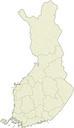
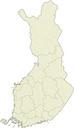
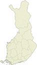
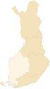
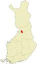
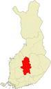
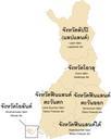
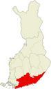
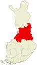
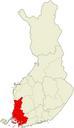
Finland locator map.svg locator map of Finland for the articles on the national parks of Finland in en The gray lines divide the country into provinces and further into regions The black dashed line is the polar circle Lambert conformal conic projection geographic coordinates can be mapped to percentages of image width with the equation