Related Images


Download:
| Tiny | 160x128 | View | Download |
| Small | 321x256 | View | Download |
| Medium | 643x512 | View | Download |
| Large | 1287x1024 | View | Download |
| Original tiff | 4824x3836 | View | Download |
| Original as jpg | 4824x3836 | View | Download |
This image was acquired from
wikimedia. It was marked as Public Domain or CC0 and is free to use. To verify, go to the source and check the information there.
Looking for more info about this image?
Try a Google Reverse Image Search for it.
Try a Google Reverse Image Search for it.
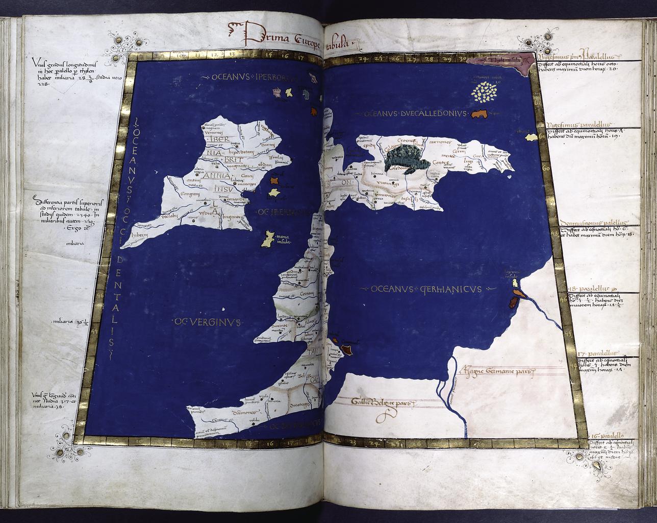
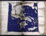
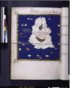
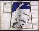
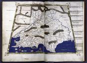
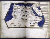
Keywords from Image Description:
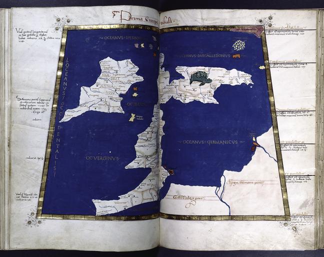
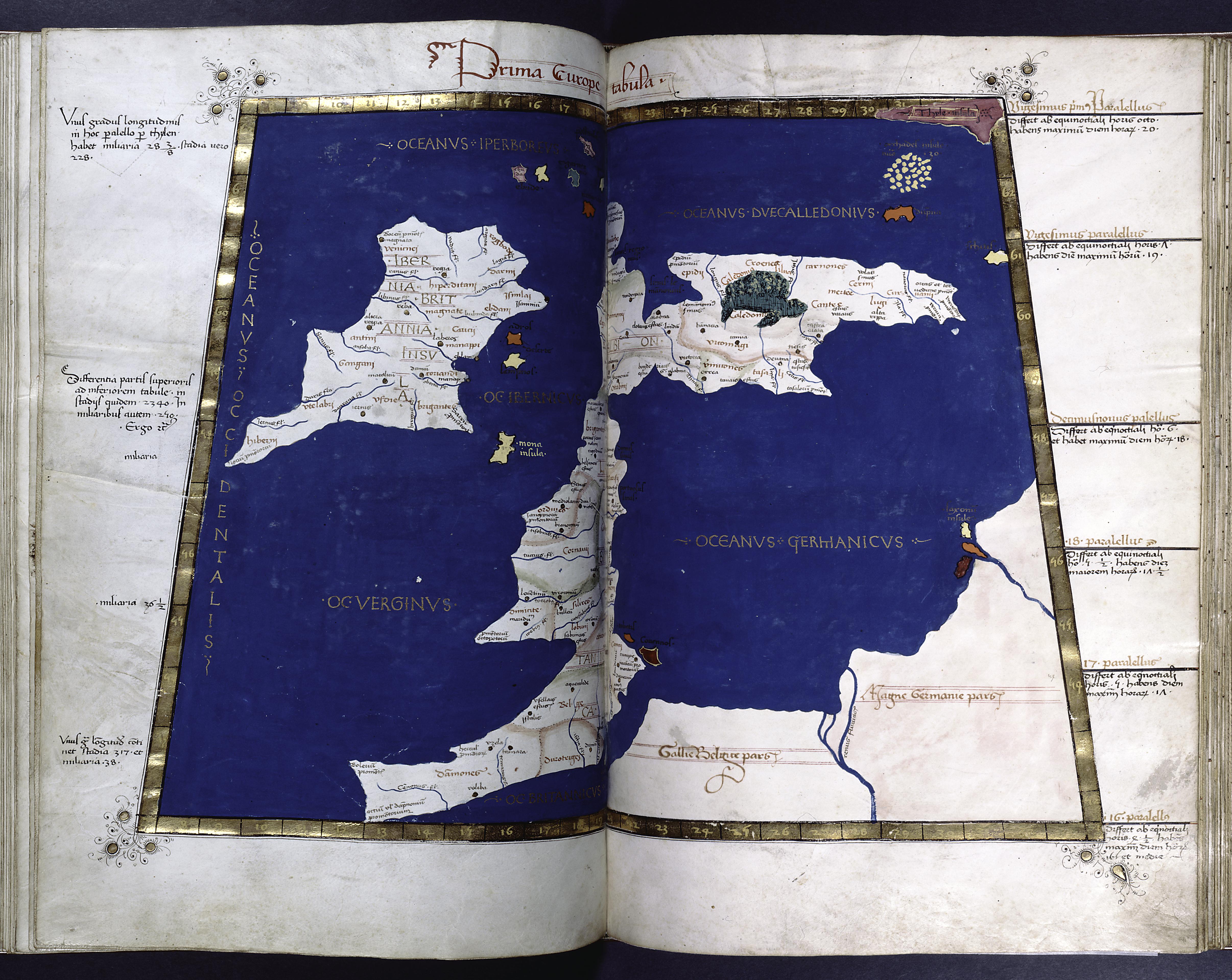
First map of Europe Britain and Ireland. Full gold border NYPL b.tif Prima Europe Tabula continues folio numbers for the map pages nypl org Scan by NYPL NYPLimageDigitalID dbdcccffdeedabc File Claudii Ptolomei Cosmographie File Ptolemy Cosmographia Great Britain and Ireland File PtolemysWM information field Title First