Related Images


This image was acquired from
wikimedia. It was marked as Public Domain or CC0 and is free to use. To verify, go to the source and check the information there.
Looking for more info about this image?
Try a Google Reverse Image Search for it.
Try a Google Reverse Image Search for it.
Keywords from Image Description:
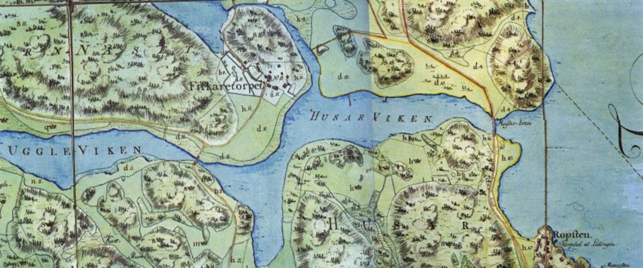
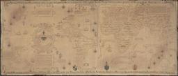
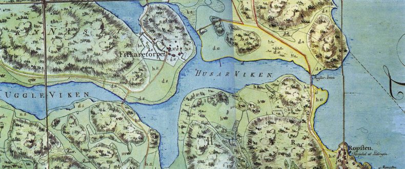
Fiskartorpet map . Historical map from showing the area around Fiskartorpet part of Norra Djurgrden Stockholm The map is from hjorthagen nu htm Uploaded dec Lidingo December UTC PDold PDold in Sweden thcentury maps of Stockholm Maps of Norra Djurgrden