Related Images

Download:
| Tiny | 79x128 | View | Download |
| Small | 159x256 | View | Download |
| Medium | 319x512 | View | Download |
| Large | 638x1024 | View | Download |
| Original | 719x1153 | View | Download |
This image was acquired from
wikimedia. It was marked as Public Domain or CC0 and is free to use. To verify, go to the source and check the information there.
Looking for more info about this image?
Try a Google Reverse Image Search for it.
Try a Google Reverse Image Search for it.
Keywords from Image Description:
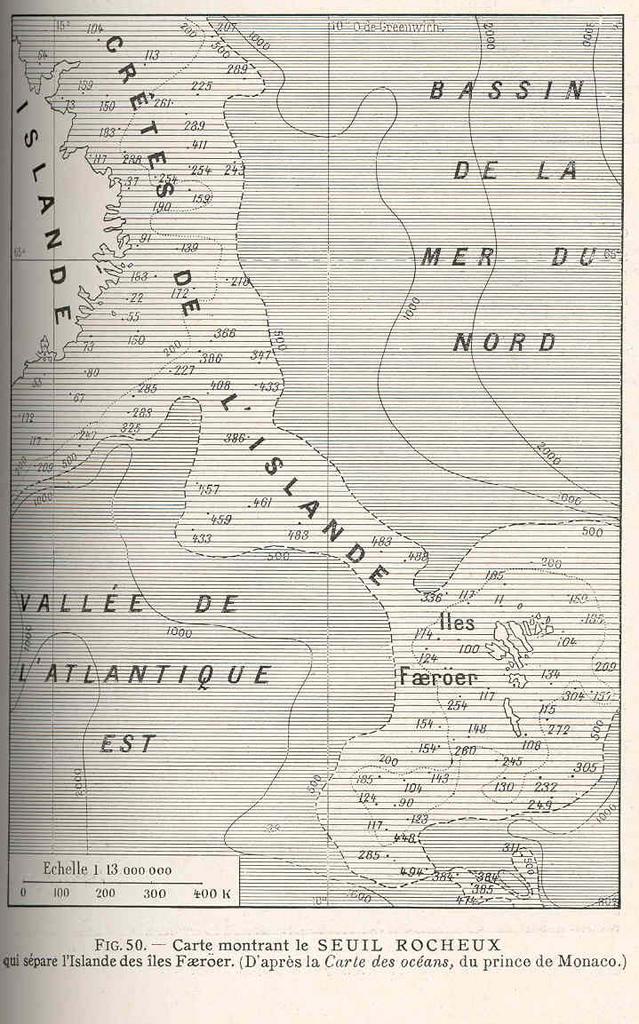
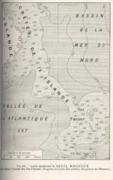
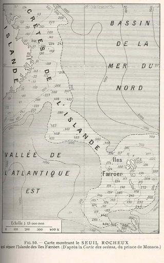
FMIB Carte Montrant le Seuil Rocheux qui Separe l'Isdlande des Iles Faeroer.jpeg check categories September Carte Montrant le Seuil Rocheux qui Separe l'Isdlande des Iles Faeroer d'Apres la Carte des Oceans du Prince de Monaco Subject Faroe IslandsMaps North SeaMaps Geographic Subject North Sea Faroe Islands Iceland Tag Coasts