
Related Images

Download:
| Tiny | 218x128 | View | Download |
| Small | 436x256 | View | Download |
| Medium | 872x512 | View | Download |
| Original | 1490x874 | View | Download |
This image was acquired from
wikimedia. It was marked as Public Domain or CC0 and is free to use. To verify, go to the source and check the information there.
Looking for more info about this image?
Try a Google Reverse Image Search for it.
Try a Google Reverse Image Search for it.
Keywords from Image Description:
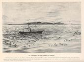
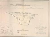
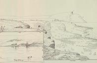
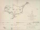
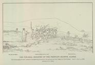
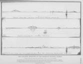
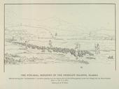
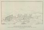
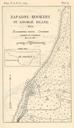
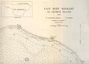
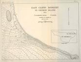
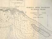
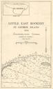
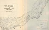
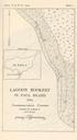
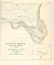
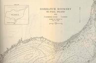
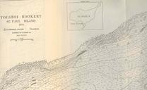
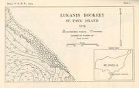
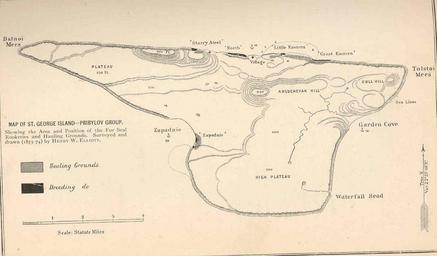
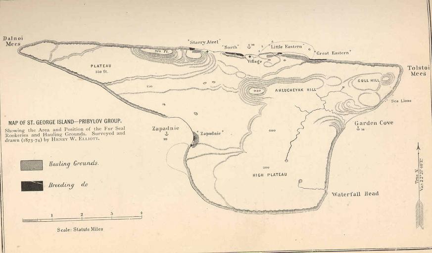
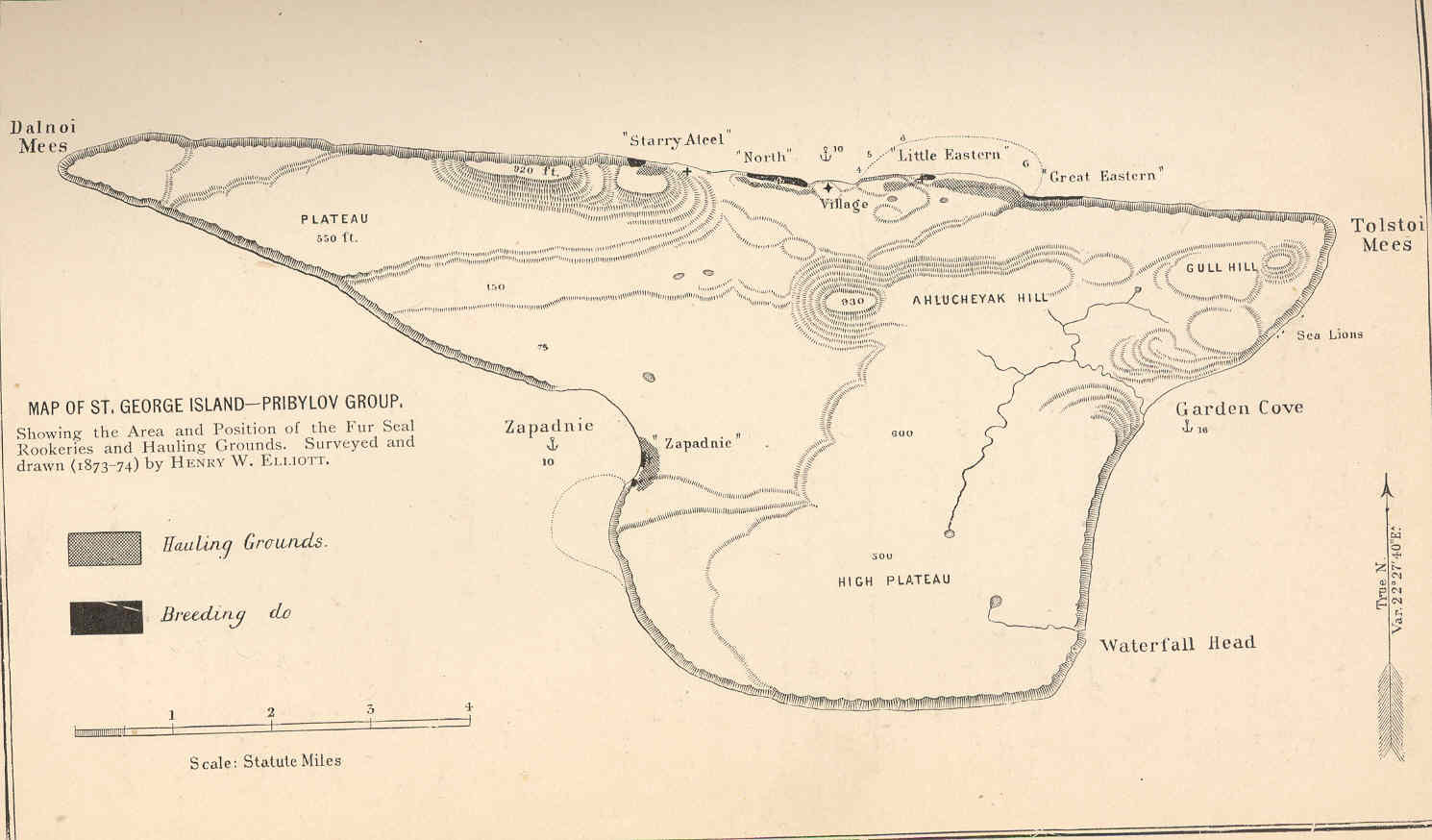
FMIB Map of St George IslandPribylov Group.jpeg check categories August Map of St George IslandPribylov Group Showing the Area and Position of the Fur Seal Rookeries and Hauling Grounds Surveyed and drawn by Henry Elliott Subject AlaskaMaps Saint George Alaska Maps Geographic Subject United StatesAlaskaSaint George Tag Coasts