
Related Images


Download:
| Tiny | 76x128 | View | Download |
| Small | 153x256 | View | Download |
| Medium | 307x512 | View | Download |
| Large | 615x1024 | View | Download |
| Original | 871x1450 | View | Download |
This image was acquired from
wikimedia. It was marked as Public Domain or CC0 and is free to use. To verify, go to the source and check the information there.
Looking for more info about this image?
Try a Google Reverse Image Search for it.
Try a Google Reverse Image Search for it.
Keywords from Image Description:
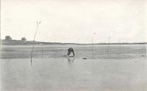
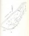
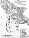
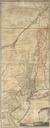
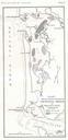
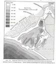
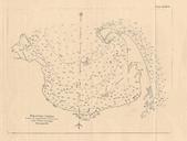
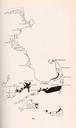
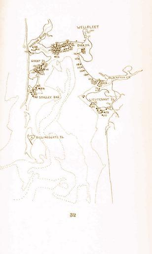
FMIB Map of Wellfleet Bay showing the location between the tide lines of quahaug growth experiments to Many acres of flats.jpeg check categories September Map of Wellfleet Bay showing the location between the tide lines of quahaug growth experiments to Many acres of flats are exposed owing to the large rise and fall of the