
Related Images


Download:
| Tiny | 370x128 | View | Download |
| Small | 741x256 | View | Download |
| Medium | 1482x512 | View | Download |
| Original tiff | 2867x990 | View | Download |
| Original as jpg | 2867x990 | View | Download |
This image was acquired from
wikimedia. It was marked as Public Domain or CC0 and is free to use. To verify, go to the source and check the information there.
Looking for more info about this image?
Try a Google Reverse Image Search for it.
Try a Google Reverse Image Search for it.
Keywords from Image Description:
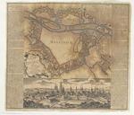
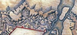
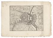
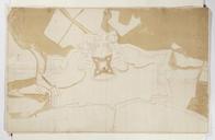
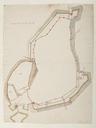
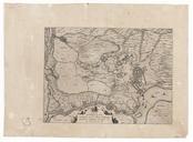
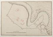
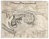
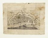
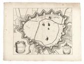
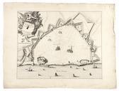
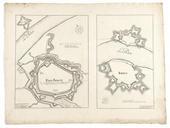
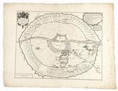
Fortifikationskarta ver Masstricht Skoklosters slott a.tif en Detail of map of Maastricht the Netherlands showing an unbuilt plan by Albert de Herbort for the western fortifications of Maastricht Original map by Seutter called Fortifikationskarta ver Maastricht now in Skoklosters slott Sweden org FortifikationskartaverMasstrichtSkoklostersslott