
Related Images


Download:
| Tiny | 289x128 | View | Download |
| Small | 579x256 | View | Download |
| Original svg | 940x415 | View | Download |
| Original as jpg | 940x415 | View | Download |
This image was acquired from
wikimedia. It was marked as Public Domain or CC0 and is free to use. To verify, go to the source and check the information there.
Looking for more info about this image?
Try a Google Reverse Image Search for it.
Try a Google Reverse Image Search for it.
Keywords from Image Description:
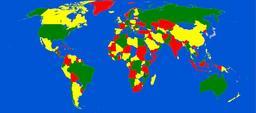
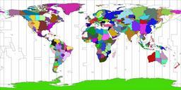
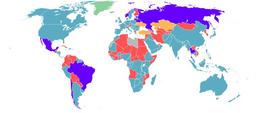
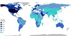
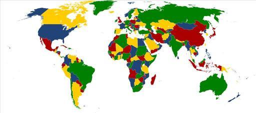
Four color world map.svg four color theorem This map considers just only land boundaries although insular States have been colored too teorema de los cuatro colores El mapa considera nicamente los lmites terrestres si bien los Estados insulares tambin estn coloreados own based on File BlankMapWorld compact svg uploaded by LokalProfil