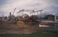
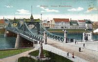
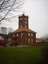
Related Images


Download:
| Tiny | 196x128 | View | Download |
| Small | 393x256 | View | Download |
| Medium | 786x512 | View | Download |
| Large | 1572x1024 | View | Download |
| Original | 2160x1407 | View | Download |
This image was acquired from
wikimedia. It was marked as Public Domain or CC0 and is free to use. To verify, go to the source and check the information there.
Looking for more info about this image?
Try a Google Reverse Image Search for it.
Try a Google Reverse Image Search for it.
Keywords from Image Description:
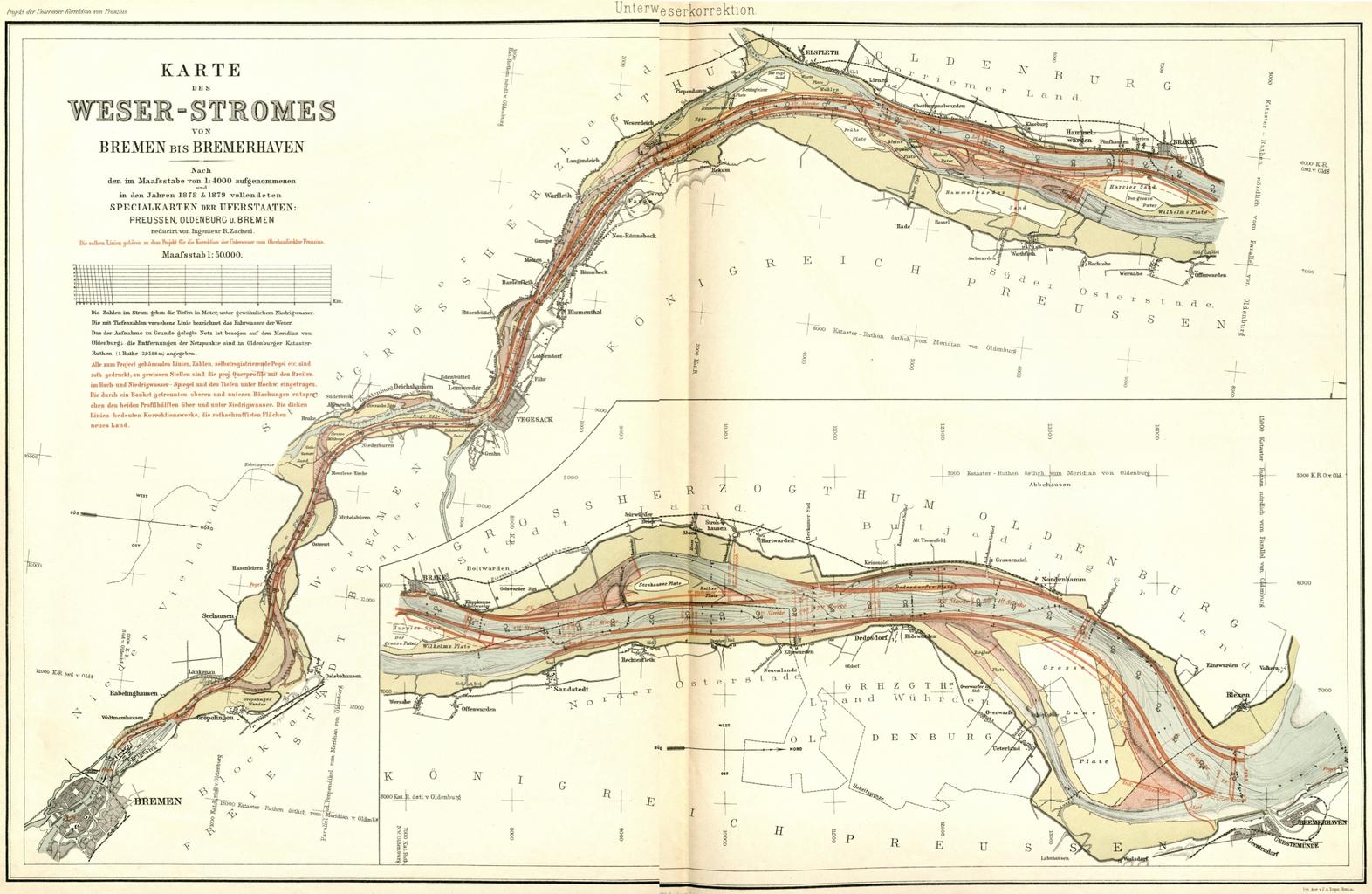
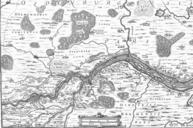
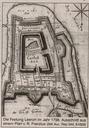
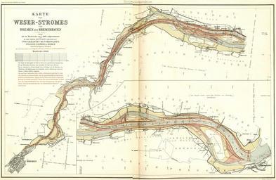
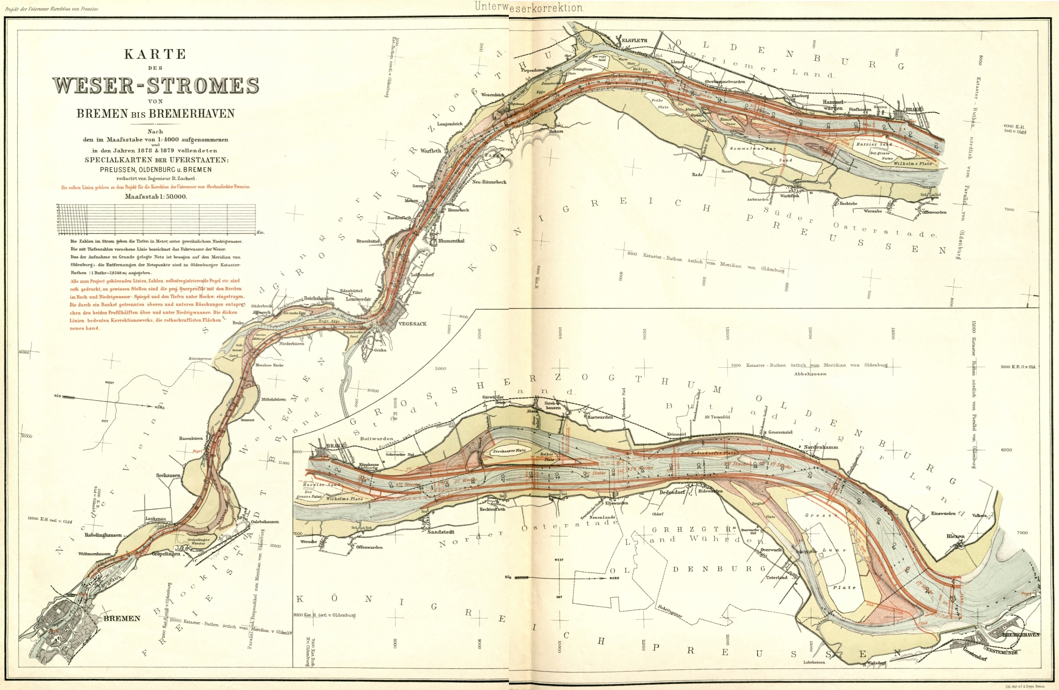
Franzius Unterweser r. Survey map of the straightening of Lower Weser or Weser inner estuary DE Korrektion der Unterweser drawn in by Ludwig Franzius the engineer who proposed and realized this project Die Unterweserkorrektion copy provided in Staatsarchiv Bremen Ludwig Franzius scan by Ulamm rotation by jpegtran The same map upright