
Related Images


Download:
| Tiny | 248x128 | View | Download |
| Small | 496x256 | View | Download |
| Medium | 993x512 | View | Download |
| Large | 1987x1024 | View | Download |
| Original | 4381x2257 | View | Download |
This image was acquired from
wikimedia. It was marked as Public Domain or CC0 and is free to use. To verify, go to the source and check the information there.
Looking for more info about this image?
Try a Google Reverse Image Search for it.
Try a Google Reverse Image Search for it.
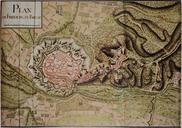
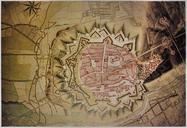
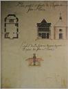
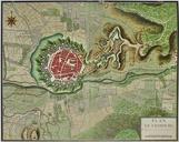
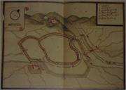
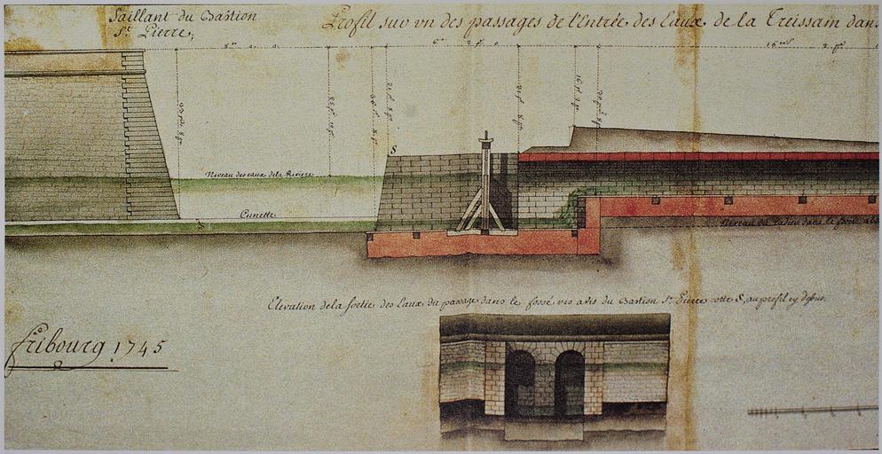
Keywords from Image Description:
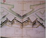
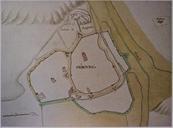
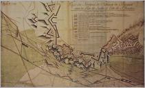
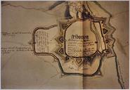
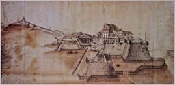
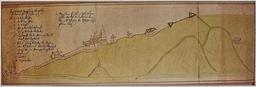
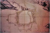
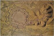
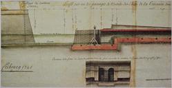
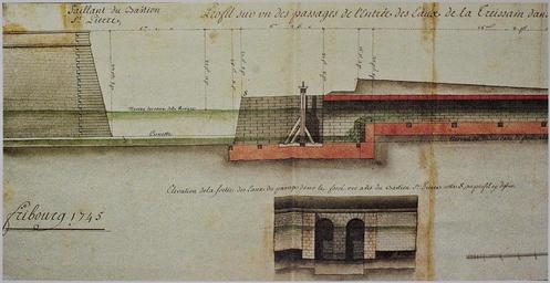
Freiburg hist map . Karten und Festungsplne von Freiburg Fribourg Querschnitt bei der Bastion St pierre photographs of historical dokuments Author died more than years ago public domain PDold Old maps of Freiburg im Breisgau