
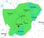
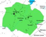
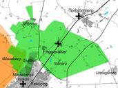
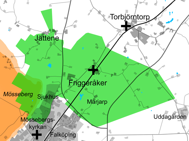
Related Images


This image was acquired from
wikimedia. It was marked as Public Domain or CC0 and is free to use. To verify, go to the source and check the information there.
Looking for more info about this image?
Try a Google Reverse Image Search for it.
Try a Google Reverse Image Search for it.
Keywords from Image Description:
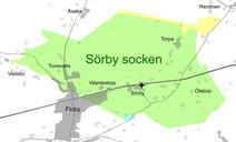
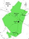
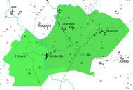
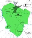
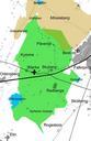
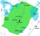
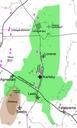
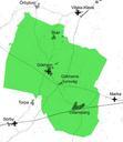
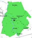
Friggerker socken Gidhems hrad. en Map of Friggerker parish in Gudhem hundred Falkping municipality Vstergtland Sweden Scale The area of Friggerker parish is marked green The table mountain is marked brown The churches of Friggerker Msseberg and Torbjrntorp are marked with black crosses sv Karta ver Friggerker socken Gudhems hrad