Related Images


Download:
| Tiny | 168x128 | View | Download |
| Small | 337x256 | View | Download |
| Medium | 675x512 | View | Download |
| Original | 953x722 | View | Download |
This image was acquired from
wikimedia. It was marked as Public Domain or CC0 and is free to use. To verify, go to the source and check the information there.
Looking for more info about this image?
Try a Google Reverse Image Search for it.
Try a Google Reverse Image Search for it.
Keywords from Image Description:
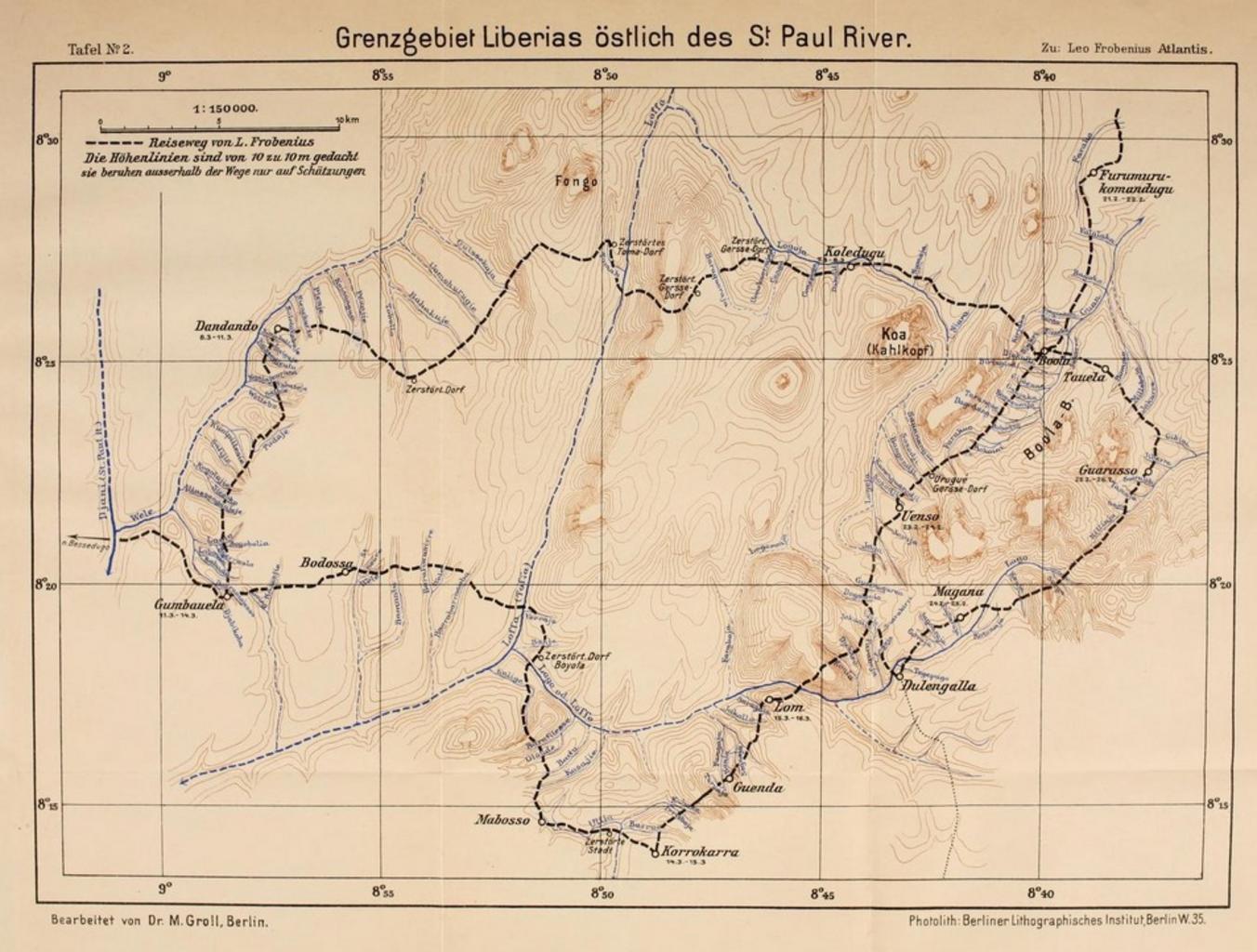
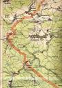
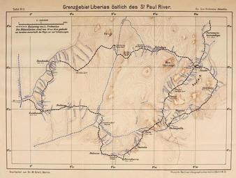
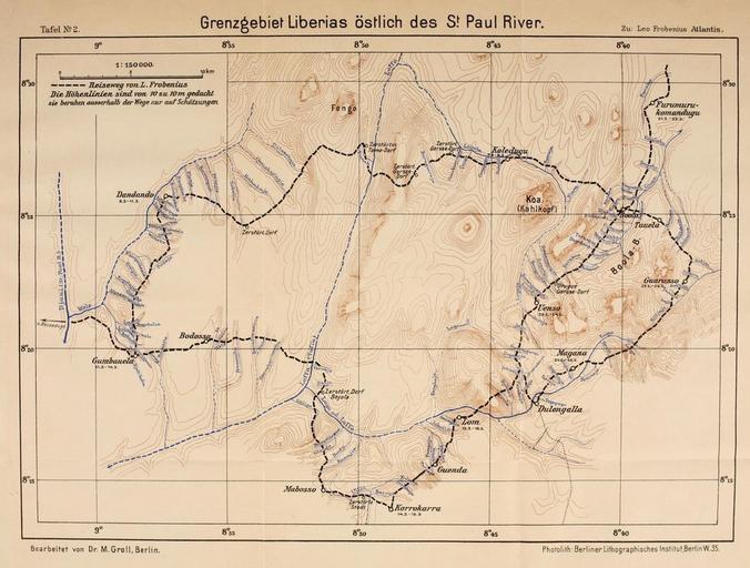
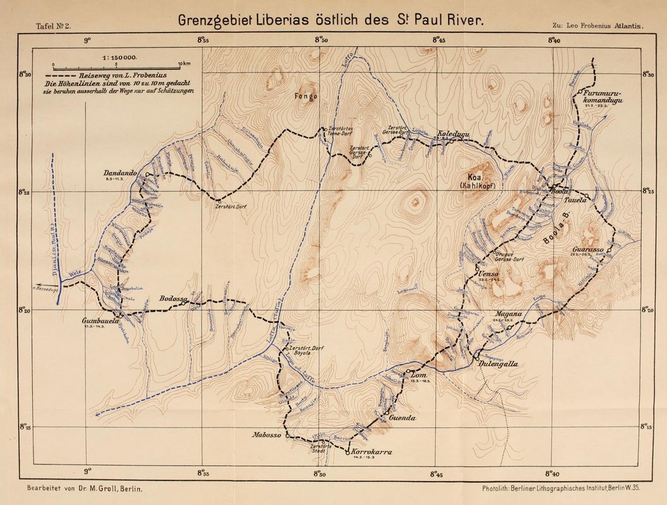
FROBENIUS Karte Grenzgebiet Liberias stlich des St.Paul River. Karte Grenzgebiet Liberias stlich des St Paul River from Expeditionsbericht der Zweiten Deutschen InnerAfrikaExpedition Auf dem wege nach Atlantis org Digitalisat Internet Archive Open Library Book contributor Library of Congress Leo Frobenius Ethnologe published org