Related Images


This image was acquired from
wikimedia. It was marked as Public Domain or CC0 and is free to use. To verify, go to the source and check the information there.
Looking for more info about this image?
Try a Google Reverse Image Search for it.
Try a Google Reverse Image Search for it.
Keywords from Image Description:
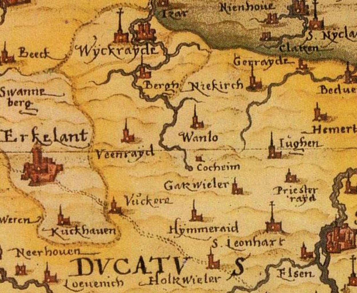
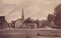
Garzweiler Atlas . Die durch den Braunkohletagebau verschwundenen Ortschaften Garzweiler und Priesterath auf einem Kartenausschnitt von Christian Sgrothen von Detail from an Atlas of the german cartographer Christian Sgrothen This part of the map shows Towns and villages around the former german village Garzweiler and Priesterath