Related Images


Download:
| Tiny | 178x128 | View | Download |
| Small | 357x256 | View | Download |
| Medium | 714x512 | View | Download |
| Original png | 907x650 | View | Download |
| Original as jpg | 907x650 | View | Download |
This image was acquired from
wikimedia. It was marked as Public Domain or CC0 and is free to use. To verify, go to the source and check the information there.
Looking for more info about this image?
Try a Google Reverse Image Search for it.
Try a Google Reverse Image Search for it.
Keywords from Image Description:
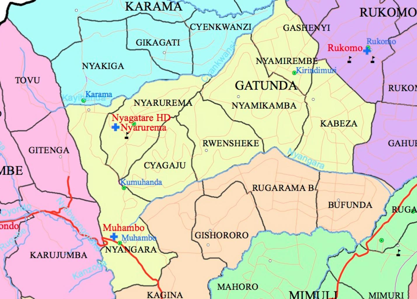
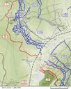
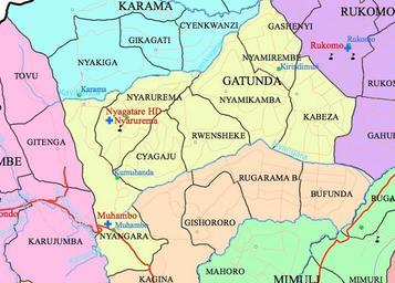
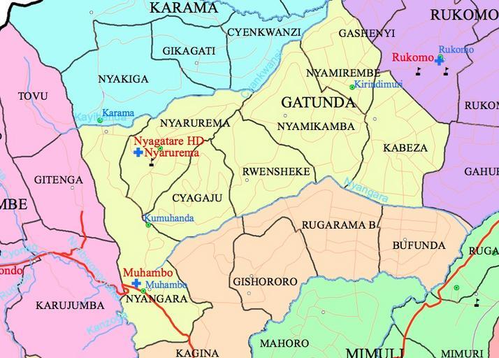
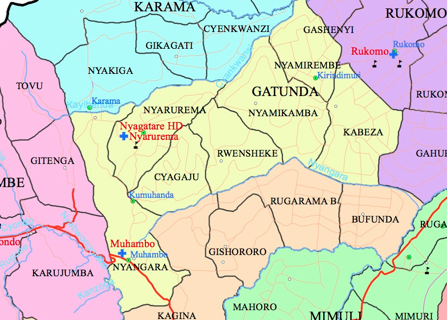
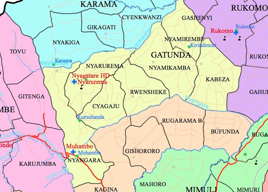
Gatunda Sector. Uploaded with en wp UW marker This is the map of Gatunda Sector taken from the larger map of Nyagatare Distric showing its administrative subdivisions gov rw National Institute of Statistics of Rwanda gov rw National Institute of Statistics of Rwanda Uncategorized December