
Related Images


Download:
| Tiny | 423x128 | View | Download |
| Small | 847x256 | View | Download |
| Medium | 1695x512 | View | Download |
| Large | 3391x1024 | View | Download |
| Original | 10715x3235 | View | Download |
This image was acquired from
wikimedia. It was marked as Public Domain or CC0 and is free to use. To verify, go to the source and check the information there.
Looking for more info about this image?
Try a Google Reverse Image Search for it.
Try a Google Reverse Image Search for it.
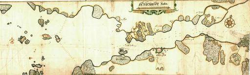
Keywords from Image Description:
Gbgharbour. sv Gteborgs hamninlopp karta frn sent tal Lngdskala Rhenlndska roder och djup anges fot en Map from late th century showing the entrance to Gothenburg Sweden Late th century Krigsarkivet Sverige Topografiska kartor Kattegatt och Skagerack author other versions Custom marker PDold Uploaded with Old maps of Gteborg