
Related Images


This image was acquired from
wikimedia. It was marked as Public Domain or CC0 and is free to use. To verify, go to the source and check the information there.
Looking for more info about this image?
Try a Google Reverse Image Search for it.
Try a Google Reverse Image Search for it.
Keywords from Image Description:
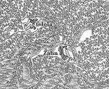
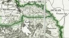
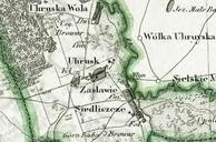
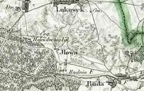
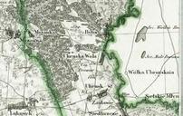
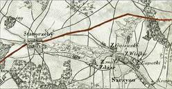
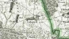
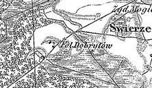
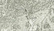
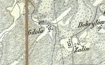
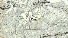
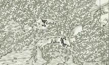
Gdola Zalin na mapie topograficznej Krlestwa Polskiego . pl Gdola alin powiat chemski na mapie topograficznej Krlestwa Polskiego roku la Pagi Gdola et Zalin Polonia districtus chelmensis rcin org pl Kwatermistrzostwo Wojska Polskiego PDArt Uploaded with Old maps of Poland Ziemia chemska Gmina RudaHuta