
Related Images


Download:
| Tiny | 78x128 | View | Download |
| Small | 157x256 | View | Download |
| Medium | 314x512 | View | Download |
| Large | 629x1024 | View | Download |
| Original | 1816x2953 | View | Download |
This image was acquired from
wikimedia. It was marked as Public Domain or CC0 and is free to use. To verify, go to the source and check the information there.
Looking for more info about this image?
Try a Google Reverse Image Search for it.
Try a Google Reverse Image Search for it.
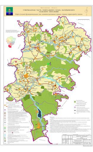
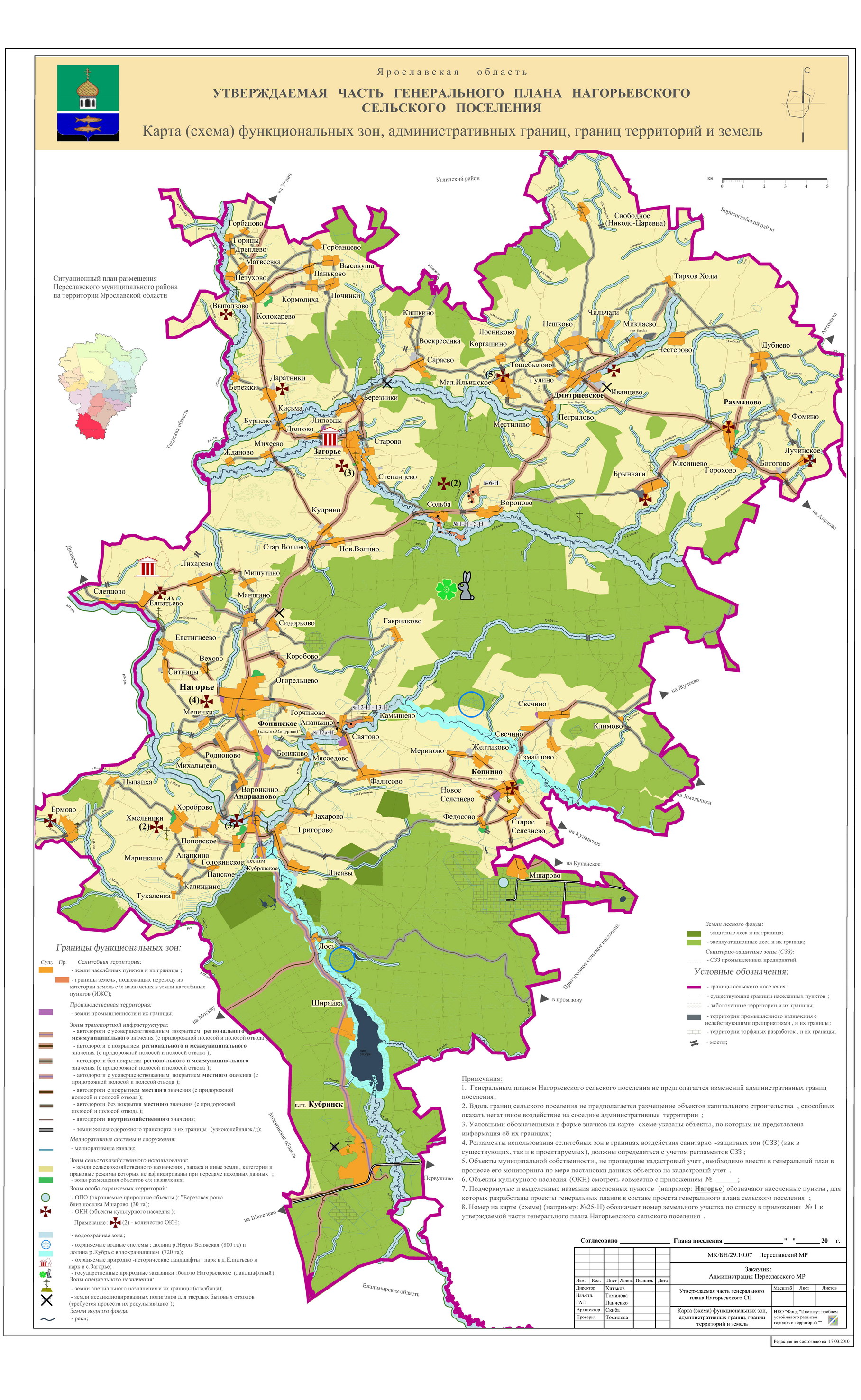
Keywords from Image Description:
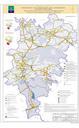
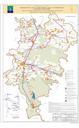
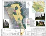
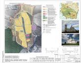
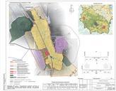
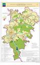
General plan of Nagorye rural settlement Yaroslavl Oblast . Functional zones administrative boundaries territories and land. en General plan of Nagorye rural settlement Yaroslavl Oblast Functional zones administrative boundaries territories and land ru pereslavl ru id PDRUexempt