
Related Images


Download:
| Tiny | 260x128 | View | Download |
| Small | 521x256 | View | Download |
| Medium | 1043x512 | View | Download |
| Large | 2086x1024 | View | Download |
| Original png | 2502x1228 | View | Download |
| Original as jpg | 2502x1228 | View | Download |
This image was acquired from
wikimedia. It was marked as Public Domain or CC0 and is free to use. To verify, go to the source and check the information there.
Looking for more info about this image?
Try a Google Reverse Image Search for it.
Try a Google Reverse Image Search for it.
Keywords from Image Description:
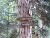
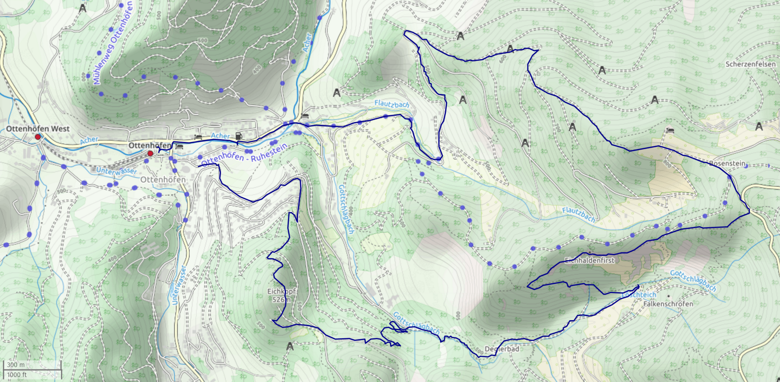
Geniesserpfadkarlsruhergrat. de Visualisierung des Genieerpfades Dieser startet und endet bei Ottenhfen und verluft an dem EdelfrauengrabWasserfall ber den Karlsruher Grat entlang Die Karte wurde mithilfe von OpenStreetMap erstellt own MartinThoma other versions cczero OpenStreetMap maps of BadenWrttemberg Images by Martin Thoma