Download:
| Tiny | 126x128 | View | Download |
| Small | 252x256 | View | Download |
| Original svg | 361x366 | View | Download |
| Original as jpg | 361x366 | View | Download |
This image was acquired from
wikimedia. It was marked as Public Domain or CC0 and is free to use. To verify, go to the source and check the information there.
Looking for more info about this image?
Try a Google Reverse Image Search for it.
Try a Google Reverse Image Search for it.
Keywords from Image Description:
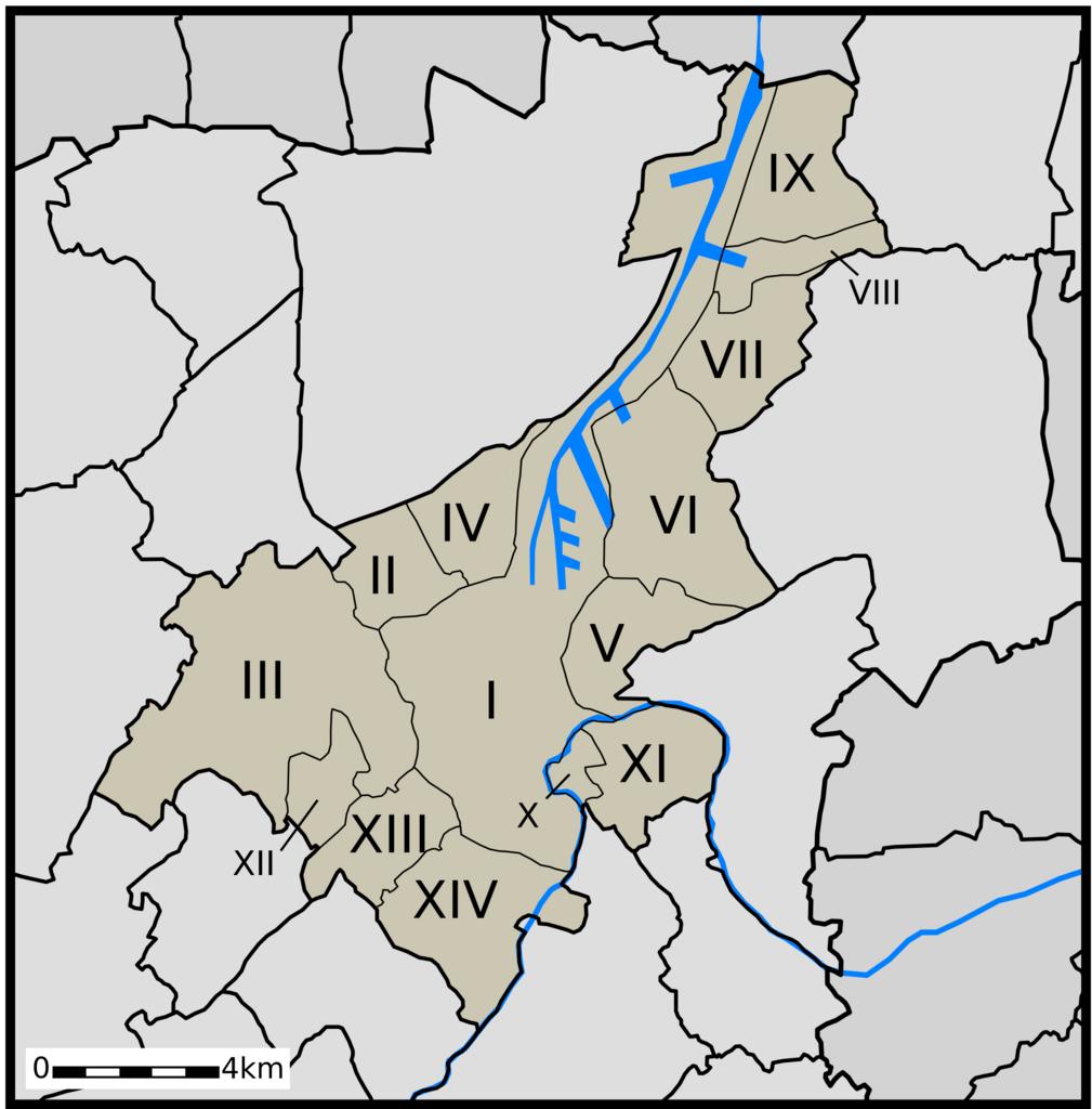
GentMap.svg nl Gent II Mariakerke III nl Drongen IV nl Wondelgem nl SintAmandsberg VI nl Oostakker VII nl Desteldonk VIII nl Mendonk IX nl SintKruisWinkel Ledeberg XI nl Gentbrugge XII nl Afsnee XIII nl SintDenijsWestrem XIV nl Zwijnaarde Maps Locator maps of neighborhoods in Ghent SVG maps of Belgium
