
Related Images


Download:
| Tiny | 88x128 | View | Download |
| Small | 177x256 | View | Download |
| Medium | 354x512 | View | Download |
| Large | 709x1024 | View | Download |
| Original | 4288x6187 | View | Download |
This image was acquired from
wikimedia. It was marked as Public Domain or CC0 and is free to use. To verify, go to the source and check the information there.
Looking for more info about this image?
Try a Google Reverse Image Search for it.
Try a Google Reverse Image Search for it.
Keywords from Image Description:
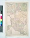
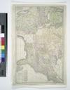
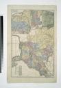
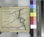
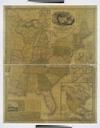
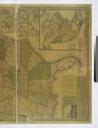
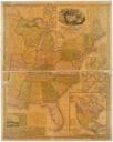
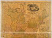
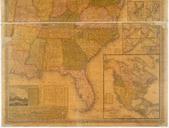
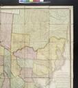
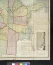
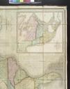
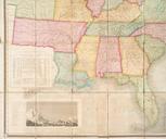
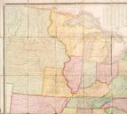
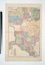
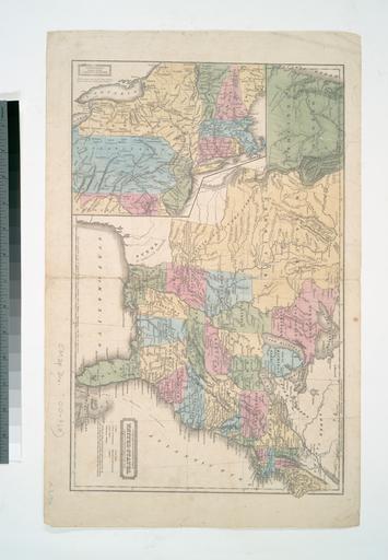
Geographical statistical map of the United States adapted to Woodbridge's geography NYPL b. en Entered according to Act of Congress the th day of September by William Woodbridge in the Clerks Office of the District Court of Connecticut Includes notes Inset Northern division of the United States National Endowment for the Humanities